Area Overview for BR5 3AN
Photos of BR5 3AN
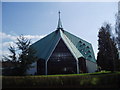
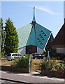
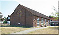
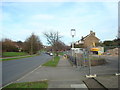
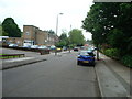
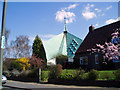
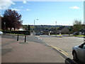
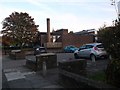
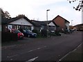
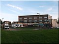
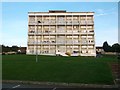

47 photos from this area
Area Information
Key information about the BR5 3AN including its size, population, and administrative classification.
- Area Type
- Postcode
- Area Size
- 1.1 hectares
- Population
- Not available
- Population Density
- Not available
House Prices in BR5 3AN
34
Properties
£283,231
Average Sold Price
£60,000
Lowest Price
£560,000
Highest Price
Showing 34 properties
| Address | Type | Beds | Baths | Last Sale Price | Last Sale Date | |
|---|---|---|---|---|---|---|
| 29 Saxville Road, Orpington, BR5 3AN | Terraced | 3 | 1 | £385,000 | Nov 2025 | |
| 23 Saxville Road, Orpington, BR5 3AN | house | 4 | 2 | £510,000 | May 2025 | |
| 57 Saxville Road, Orpington, BR5 3AN | Terraced | 3 | 2 | £485,000 | Oct 2023 | |
| 9 Saxville Road, Orpington, BR5 3AN | Terraced | 3 | 1 | £380,000 | Aug 2023 | |
| 13 Saxville Road, Orpington, BR5 3AN | Semi-detached | 3 | 1 | £560,000 | May 2023 | |
| 17 Saxville Road, Orpington, BR5 3AN | house | - | - | £450,000 | Nov 2022 | |
| 7 Saxville Road, Orpington, BR5 3AN | Terraced | 3 | - | £370,000 | Aug 2021 | |
| 35 Saxville Road, Orpington, BR5 3AN | house | - | - | £459,505 | Dec 2020 | |
| 67 Saxville Road, Orpington, BR5 3AN | Semi-detached | 3 | 1 | £340,000 | Feb 2020 | |
| 49 Saxville Road, Orpington, BR5 3AN | Terraced | 3 | 1 | £325,000 | Aug 2017 |
Page 1 of 4
Energy Efficiency in BR5 3AN
Amenities
Schools
| Rank | School | Type | Entry gender | Ages |
|---|
Explore more schools in this area
Go to Schools tabDemographics
Household Size
Family (3-5 people)
most common
Accommodation Type
Houses
most common
Tenure
74
majority
Ethnic Group
White
most common
Religion
N/A
most common
Household Composition
N/A
most common
Age
47
median
Adults (30-64 years)
most common
Household Deprivation
N/A
with no deprivation
NS-SEC
32
in Lower managerial occupations
Explore more demographic insights in this area
Go to Demographics tabPlanning
Planning Constraints
- Flood RiskPremium
- Ramsar Wetland SitesPremium
- Area of Outstanding Natural BeautyPremium
- Protected Nature ReservePremium
- Protected WoodlandPremium