Area Overview for BR5 2EX
Photos of BR5 2EX

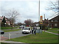

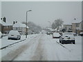


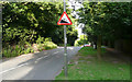

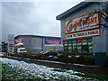
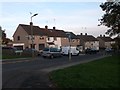
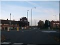

67 photos from this area
Area Information
Key information about the BR5 2EX including its size, population, and administrative classification.
- Area Type
- Postcode
- Area Size
- 2.9 hectares
- Population
- Not available
- Population Density
- Not available
House Prices in BR5 2EX
31
Properties
£245,384
Average Sold Price
£59,995
Lowest Price
£410,000
Highest Price
Showing 31 properties
| Address | Type | Beds | Baths | Last Sale Price | Last Sale Date | |
|---|---|---|---|---|---|---|
| 85 Tillingbourne Green, Orpington, BR5 2EX | Semi-detached | 3 | 1 | £280,000 | Mar 2024 | |
| 111 Tillingbourne Green, Orpington, BR5 2EX | house | - | - | £239,000 | Mar 2021 | |
| 119 Tillingbourne Green, Orpington, BR5 2EX | Detached | 3 | 1 | £410,000 | Aug 2018 | |
| 123 Tillingbourne Green, Orpington, BR5 2EX | Semi-detached | 4 | 2 | £405,500 | Jan 2018 | |
| 79 Tillingbourne Green, Orpington, BR5 2EX | Semi-detached | 3 | 1 | £393,000 | Dec 2017 | |
| 101 Tillingbourne Green, Orpington, BR5 2EX | house | - | - | £235,000 | Oct 2012 | |
| 89 Tillingbourne Green, Orpington, BR5 2EX | Semi-detached | - | - | £158,000 | Nov 2008 | |
| 105 Tillingbourne Green, Orpington, BR5 2EX | house | - | - | £217,000 | Jul 2007 | |
| 73 Tillingbourne Green, Orpington, BR5 2EX | house | - | - | £215,000 | May 2005 | |
| 75 Tillingbourne Green, Orpington, BR5 2EX | house | - | - | £214,995 | Oct 2004 |
Page 1 of 4
Energy Efficiency in BR5 2EX
Amenities
Schools
| Rank | School | Type | Entry gender | Ages |
|---|
Explore more schools in this area
Go to Schools tabDemographics
Household Size
Family (3-5 people)
most common
Accommodation Type
Houses
most common
Tenure
71
majority
Ethnic Group
White
most common
Religion
N/A
most common
Household Composition
N/A
most common
Age
47
median
Adults (30-64 years)
most common
Household Deprivation
N/A
with no deprivation
NS-SEC
38
in Lower managerial occupations
Explore more demographic insights in this area
Go to Demographics tabPlanning
Planning Constraints
- Flood RiskPremium
- Ramsar Wetland SitesPremium
- Area of Outstanding Natural BeautyPremium
- Protected Nature ReservePremium
- Protected WoodlandPremium