Area Overview for BR5 1NA
Photos of BR5 1NA
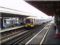
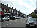
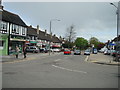
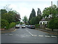
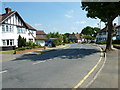
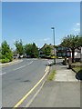
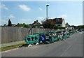
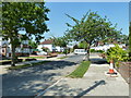
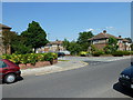
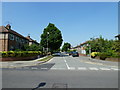
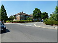
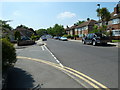
100 photos from this area
Area Information
Key information about the BR5 1NA including its size, population, and administrative classification.
- Area Type
- Postcode
- Area Size
- 1.0 hectares
- Population
- Not available
- Population Density
- Not available
House Prices in BR5 1NA
49
Properties
£467,625
Average Sold Price
£350,000
Lowest Price
£770,000
Highest Price
Showing 49 properties
| Address | Type | Beds | Baths | Last Sale Price | Last Sale Date | |
|---|---|---|---|---|---|---|
| 8A Station Square, Petts Wood, Orpington, BR5 1NA | Flat | - | - | £770,000 | Mar 2024 | |
| 20A Station Square, Petts Wood, Orpington, BR5 1NA | Flat | - | - | £350,000 | May 2022 | |
| 16A Station Square, Petts Wood, Orpington, BR5 1NA | Flat | 3 | 1 | £379,000 | Oct 2018 | |
| 4A Station Square, Petts Wood, Orpington, BR5 1NA | Flat | - | - | £371,500 | Jul 2005 | |
| J K News, Petts Wood Kiosk, Station Square, Petts Wood, Orpington, BR5 1NA | shop | - | - | - | - | |
| Linays Commercial Ltd, 26A Station Square, Petts Wood, Orpington, BR5 1NA | office_workshop | - | - | - | - | |
| 14A Station Square, Petts Wood, Orpington, BR5 1NA | Maisonette | - | - | - | - | |
| Petts Wood Railway Station, Station Square, Petts Wood, Orpington, BR5 1NA | retail_financial | - | - | - | - | |
| Flat 1, 22A Station Square, Petts Wood, Orpington, BR5 1NA | Unknown | - | - | - | - | |
| Flat 2, 22A Station Square, Petts Wood, Orpington, BR5 1NA | Unknown | - | - | - | - |
Page 1 of 5
Energy Efficiency in BR5 1NA
Amenities
Schools
| Rank | School | Type | Entry gender | Ages |
|---|
Explore more schools in this area
Go to Schools tabDemographics
Household Size
Family (3-5 people)
most common
Accommodation Type
Houses
most common
Tenure
74
majority
Ethnic Group
White
most common
Religion
N/A
most common
Household Composition
N/A
most common
Age
47
median
Adults (30-64 years)
most common
Household Deprivation
N/A
with no deprivation
NS-SEC
49
in Lower managerial occupations
Explore more demographic insights in this area
Go to Demographics tabPlanning
Planning Constraints
- Flood RiskPremium
- Ramsar Wetland SitesPremium
- Area of Outstanding Natural BeautyPremium
- Protected Nature ReservePremium
- Protected WoodlandPremium