Area Overview for BR5 1BG
Photos of BR5 1BG
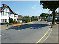
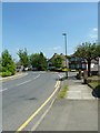
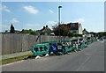
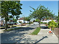
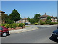
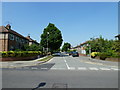
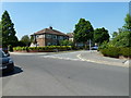
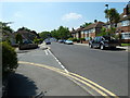
100 photos from this area
Area Information
Key information about the BR5 1BG including its size, population, and administrative classification.
- Area Type
- Postcode
- Area Size
- 9215 m²
- Population
- 1367
- Population Density
- 4578 people/km²
House Prices in BR5 1BG
19
Properties
£440,467
Average Sold Price
£87,000
Lowest Price
£895,000
Highest Price
Showing 19 properties
| Address | Type | Beds | Baths | Last Sale Price | Last Sale Date | |
|---|---|---|---|---|---|---|
| 7 Nightingale Road, Petts Wood, Orpington, BR5 1BG | Semi-detached | 3 | 1 | £600,000 | Mar 2024 | |
| 9 Nightingale Road, Petts Wood, Orpington, BR5 1BG | Semi-detached | 3 | 2 | £705,000 | Mar 2023 | |
| 18 Nightingale Road, Petts Wood, Orpington, BR5 1BG | Semi-detached | 5 | 2 | £895,000 | Mar 2023 | |
| 6 Nightingale Road, Petts Wood, Orpington, BR5 1BG | house | - | - | £585,000 | Aug 2021 | |
| 8 Nightingale Road, Petts Wood, Orpington, BR5 1BG | house | - | - | £565,000 | Jun 2021 | |
| 22 Nightingale Road, Petts Wood, Orpington, BR5 1BG | Bungalow | - | - | £350,000 | Mar 2021 | |
| 2 Nightingale Road, Petts Wood, Orpington, BR5 1BG | Semi-detached | 3 | 3 | £750,000 | Dec 2019 | |
| 3 Nightingale Road, Petts Wood, Orpington, BR5 1BG | Semi-detached | 3 | 2 | £521,000 | Jan 2017 | |
| 15 Nightingale Road, Petts Wood, Orpington, BR5 1BG | house | - | - | £442,500 | Oct 2011 | |
| 11 Nightingale Road, Petts Wood, Orpington, BR5 1BG | Semi-detached | 3 | 2 | £225,000 | Jan 2009 |
Page 1 of 2
Energy Efficiency in BR5 1BG
Amenities
Schools
| Rank | School | Type | Entry gender | Ages |
|---|
Explore more schools in this area
Go to Schools tabDemographics
Household Size
Family (3-5 people)
most common
Accommodation Type
Houses
most common
Tenure
82
majority
Ethnic Group
White
most common
Religion
N/A
most common
Household Composition
N/A
most common
Age
47
median
Adults (30-64 years)
most common
Household Deprivation
N/A
with no deprivation
NS-SEC
51
in Lower managerial occupations
Explore more demographic insights in this area
Go to Demographics tabPlanning
Planning Constraints
- Flood RiskPremium
- Ramsar Wetland SitesPremium
- Area of Outstanding Natural BeautyPremium
- Protected Nature ReservePremium
- Protected WoodlandPremium