Area Overview for BR4 9AE
Photos of BR4 9AE
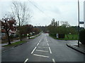
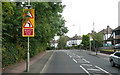
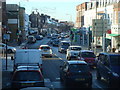
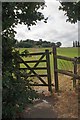
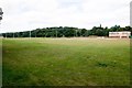
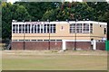
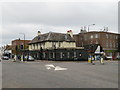
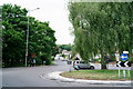
54 photos from this area
Area Information
Key information about the BR4 9AE including its size, population, and administrative classification.
- Area Type
- Postcode
- Area Size
- 1.2 hectares
- Population
- Not available
- Population Density
- Not available
House Prices in BR4 9AE
8
Properties
£535,000
Average Sold Price
£230,000
Lowest Price
£925,000
Highest Price
Showing 8 properties
| Address | Type | Beds | Baths | Last Sale Price | Last Sale Date | |
|---|---|---|---|---|---|---|
| 123 Hawes Lane, West Wickham, BR4 9AE | Detached | 4 | 2 | £925,000 | Jun 2021 | |
| 127 Hawes Lane, West Wickham, BR4 9AE | Detached | 4 | 2 | £700,000 | Oct 2020 | |
| The Cottage, 129 Hawes Lane, West Wickham, BR4 9AE | Flat | - | - | £285,000 | Jan 2008 | |
| The Mount, Hawes Lane, West Wickham, BR4 9AE | house | 4 | - | £230,000 | Jan 1997 | |
| Glebe School, Hawes Lane, West Wickham, BR4 9AE | education | - | - | - | - | |
| Hawes Down Centre, Hawes Lane, West Wickham, BR4 9AE | primary_healthcare | - | - | - | - | |
| Chuckle Box After School Club, Hawes Down Centre, Hawes Lane, West Wickham, BR4 9AE | commercial | - | - | - | - | |
| 121 Hawes Lane, West Wickham, BR4 9AE | Detached | - | - | - | - |
Energy Efficiency in BR4 9AE
Amenities
Schools
| Rank | School | Type | Entry gender | Ages |
|---|
Explore more schools in this area
Go to Schools tabDemographics
Household Size
Family (3-5 people)
most common
Accommodation Type
Houses
most common
Tenure
89
majority
Ethnic Group
White
most common
Religion
N/A
most common
Household Composition
N/A
most common
Age
47
median
Adults (30-64 years)
most common
Household Deprivation
N/A
with no deprivation
NS-SEC
45
in Lower managerial occupations
Explore more demographic insights in this area
Go to Demographics tabPlanning
Planning Constraints
- Flood RiskPremium
- Ramsar Wetland SitesPremium
- Area of Outstanding Natural BeautyPremium
- Protected Nature ReservePremium
- Protected WoodlandPremium