Area Overview for BR4 0HL
Photos of BR4 0HL
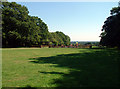
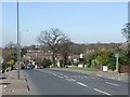
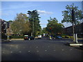
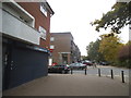

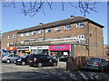
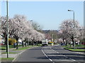
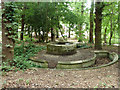
43 photos from this area
Area Information
Key information about the BR4 0HL including its size, population, and administrative classification.
- Area Type
- Postcode
- Area Size
- 8.8 hectares
- Population
- 1817
- Population Density
- 3590 people/km²
House Prices in BR4 0HL
17
Properties
£733,182
Average Sold Price
£232,500
Lowest Price
£1,500,000
Highest Price
Showing 17 properties
| Address | Type | Beds | Baths | Last Sale Price | Last Sale Date | |
|---|---|---|---|---|---|---|
| 226 Pickhurst Lane, West Wickham, BR4 0HL | Semi-detached | 3 | - | £837,500 | Aug 2024 | |
| 204 Pickhurst Lane, West Wickham, BR4 0HL | house | - | - | £1,500,000 | Oct 2023 | |
| 220 Pickhurst Lane, West Wickham, BR4 0HL | house | - | - | £892,000 | Jul 2022 | |
| 230 Pickhurst Lane, West Wickham, BR4 0HL | house | - | - | £760,000 | Mar 2021 | |
| 200 Pickhurst Lane, West Wickham, BR4 0HL | Detached | 4 | 1 | £750,000 | Sep 2020 | |
| 224 Pickhurst Lane, West Wickham, BR4 0HL | house | - | - | £565,000 | Jul 2019 | |
| 208 Pickhurst Lane, West Wickham, BR4 0HL | house | - | - | £780,000 | Jun 2017 | |
| 198 Pickhurst Lane, West Wickham, BR4 0HL | Detached | 4 | 1 | £728,000 | Apr 2016 | |
| 206 Pickhurst Lane, West Wickham, BR4 0HL | Detached | 3 | - | £635,000 | Jul 2015 | |
| 202 Pickhurst Lane, West Wickham, BR4 0HL | Detached | - | - | £385,000 | Jan 2004 |
Page 1 of 2
Energy Efficiency in BR4 0HL
Amenities
Schools
| Rank | School | Type | Entry gender | Ages |
|---|
Explore more schools in this area
Go to Schools tabDemographics
Household Size
Family (3-5 people)
most common
Accommodation Type
Houses
most common
Tenure
80
majority
Ethnic Group
White
most common
Religion
N/A
most common
Household Composition
N/A
most common
Age
47
median
Adults (30-64 years)
most common
Household Deprivation
N/A
with no deprivation
NS-SEC
40
in Lower managerial occupations
Explore more demographic insights in this area
Go to Demographics tabPlanning
Planning Constraints
- Flood RiskPremium
- Ramsar Wetland SitesPremium
- Area of Outstanding Natural BeautyPremium
- Protected Nature ReservePremium
- Protected WoodlandPremium