Area Overview for BR3 5TX
Photos of BR3 5TX
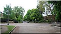
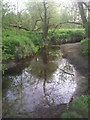
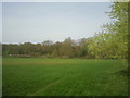
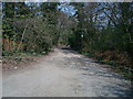
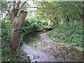
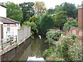
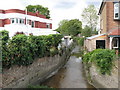
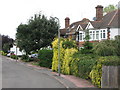
100 photos from this area
Area Information
Key information about the BR3 5TX including its size, population, and administrative classification.
- Area Type
- Postcode
- Area Size
- 7221 m²
- Population
- 1849
- Population Density
- 4453 people/km²
House Prices in BR3 5TX
11
Properties
£490,364
Average Sold Price
£132,000
Lowest Price
£980,000
Highest Price
Showing 11 properties
| Address | Type | Beds | Baths | Last Sale Price | Last Sale Date | |
|---|---|---|---|---|---|---|
| 101 Westgate Road, Beckenham, BR3 5TX | Detached | 4 | 2 | £595,000 | Dec 2024 | |
| 105 Westgate Road, Beckenham, BR3 5TX | house | - | - | £980,000 | Aug 2023 | |
| 97 Westgate Road, Beckenham, BR3 5TX | house | - | - | £660,000 | Jun 2022 | |
| 89 Westgate Road, Beckenham, BR3 5TX | Semi-detached | 4 | - | £645,000 | Sep 2017 | |
| 93 Westgate Road, Beckenham, BR3 5TX | house | 4 | - | £628,500 | Aug 2017 | |
| 109 Westgate Road, Beckenham, BR3 5TX | house | - | - | £705,000 | Jul 2015 | |
| 107 Westgate Road, Beckenham, BR3 5TX | Detached | - | - | £467,500 | Sep 2004 | |
| 91 Westgate Road, Beckenham, BR3 5TX | Detached | 4 | 1 | £285,000 | Dec 2002 | |
| 99 Westgate Road, Beckenham, BR3 5TX | house | 4 | - | £160,000 | Oct 1997 | |
| 95 Westgate Road, Beckenham, BR3 5TX | Detached | - | - | £136,000 | Apr 1997 |
Page 1 of 2
Energy Efficiency in BR3 5TX
Amenities
Schools
| Rank | School | Type | Entry gender | Ages |
|---|
Explore more schools in this area
Go to Schools tabDemographics
Household Size
One person
most common
Accommodation Type
Flats
most common
Tenure
63
majority
Ethnic Group
White
most common
Religion
N/A
most common
Household Composition
N/A
most common
Age
47
median
Adults (30-64 years)
most common
Household Deprivation
N/A
with no deprivation
NS-SEC
59
in Lower managerial occupations
Explore more demographic insights in this area
Go to Demographics tabPlanning
Planning Constraints
- Flood RiskPremium
- Ramsar Wetland SitesPremium
- Area of Outstanding Natural BeautyPremium
- Protected Nature ReservePremium
- Protected WoodlandPremium