Area Overview for BR3 1EN
Photos of BR3 1EN
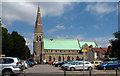
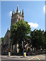
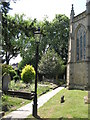

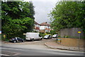
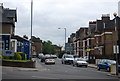
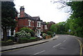
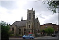
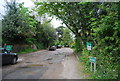
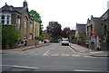
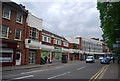
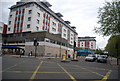
100 photos from this area
Area Information
Key information about the BR3 1EN including its size, population, and administrative classification.
- Area Type
- Postcode
- Area Size
- 5554 m²
- Population
- Not available
- Population Density
- Not available
House Prices in BR3 1EN
17
Properties
£411,527
Average Sold Price
£295,000
Lowest Price
£650,000
Highest Price
Showing 17 properties
| Address | Type | Beds | Baths | Last Sale Price | Last Sale Date | |
|---|---|---|---|---|---|---|
| 186A High Street, Beckenham, BR3 1EN | Retail | 1 | 1 | £295,000 | Oct 2017 | |
| 220A High Street, Beckenham, BR3 1EN | Flat | - | - | £650,000 | Jul 2015 | |
| 236A High Street, Beckenham, BR3 1EN | Flat | 1 | 1 | £390,000 | Apr 2009 | |
| 184A High Street, Beckenham, BR3 1EN | Maisonette | - | - | £311,106 | Dec 2002 | |
| 222A High Street, Beckenham, BR3 1EN | Flat | 2 | 1 | - | - | |
| Pret A Manger, 214 High Street, Beckenham, BR3 1EN | retail_financial | - | - | - | - | |
| 228A High Street, Beckenham, BR3 1EN | Flat | - | - | - | - | |
| Gigante Hair & Beauty, 224 High Street, Beckenham, BR3 1EN | retail_financial | - | - | - | - | |
| Francis Chappell & Sons, 238 High Street, Beckenham, BR3 1EN | Flat | 3 | - | - | - | |
| Flat 1, 212 High Street, Beckenham, BR3 1EN | Flat | - | - | - | - |
Page 1 of 2
Energy Efficiency in BR3 1EN
Amenities
Schools
| Rank | School | Type | Entry gender | Ages |
|---|
Explore more schools in this area
Go to Schools tabDemographics
Household Size
One person
most common
Accommodation Type
Flats
most common
Tenure
51
majority
Ethnic Group
White
most common
Religion
N/A
most common
Household Composition
N/A
most common
Age
47
median
Adults (30-64 years)
most common
Household Deprivation
N/A
with no deprivation
NS-SEC
51
in Lower managerial occupations
Explore more demographic insights in this area
Go to Demographics tabPlanning
Planning Constraints
- Flood RiskPremium
- Ramsar Wetland SitesPremium
- Area of Outstanding Natural BeautyPremium
- Protected Nature ReservePremium
- Protected WoodlandPremium