Area Overview for BR2 9WL
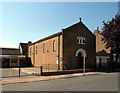
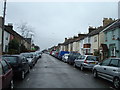
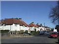
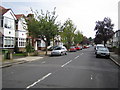
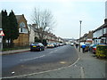
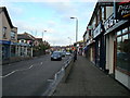
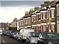
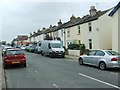
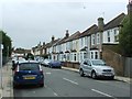
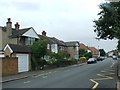
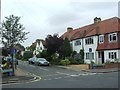
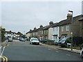
Photos of BR2 9WL
Area Information
BR2 9WL lies within the Bromley Common and Holwood Ward, a historically significant area in the London Borough of Bromley. With a population of 2,271, this small residential cluster balances historical charm with modern convenience. The area’s development began in the 19th century, spurred by the arrival of the railway in 1858, which transformed it into a suburban hub. Today, it retains echoes of its past through landmarks like St. Luke’s Church and Holy Trinity Church, while offering proximity to contemporary amenities. Residents benefit from a mix of Victorian-era architecture and 20th-century housing, creating a distinctive character. The area’s compact size means it is well-served by nearby schools, retail outlets, and transport links, making it appealing for families and professionals. Its location, just 15 kilometres from Charing Cross, ensures easy access to London’s cultural and economic centres, while the surrounding green spaces provide a contrast to urban life. Living in BR2 9WL offers a blend of historical depth and practical modernity, ideal for those seeking a settled yet dynamic lifestyle.
- Area Type
- Postcode
- Area Size
- Not available
- Population
- 2271
- Population Density
- 6623 people/km²
BR2 9WL is characterised by a high proportion of flats, with 58% of properties owned by residents rather than rented. This suggests a mix of owner-occupied and rental housing, though the exact balance of the latter is unspecified. The prevalence of flats indicates a focus on smaller, managed housing stock, which may appeal to those prioritising low-maintenance living or proximity to amenities. Given the area’s compact size, property availability is limited, and buyers should consider nearby zones for broader options. The historical development of Bromley Common, with its Victorian and 20th-century housing, means the stock is a blend of older, well-established properties and more modern builds. For buyers, this offers a chance to invest in a mature, stable market with established infrastructure, though competition may be keen due to the area’s small footprint.
House Prices in BR2 9WL
No properties found in this postcode.
Energy Efficiency in BR2 9WL
Residents of BR2 9WL have access to a variety of amenities that support daily life. The area’s retail sector includes major supermarkets like Tesco, Co-op, and Waitrose, ensuring easy access to groceries and household essentials. Transport links are extensive, with rail stations and tram stops facilitating commutes to London and nearby towns. The presence of two airports within reach adds to the area’s accessibility. While the data does not specify parks or leisure facilities, historical notes mention green spaces such as Norman Park and Rookery Lane, which provide open areas for recreation. The mix of retail, transport, and nearby greenery contributes to a balanced lifestyle, blending urban convenience with opportunities for relaxation.
Amenities
Schools
Residents of BR2 9WL have access to a range of educational institutions, including primary schools and a pupil referral service. The Ravensbourne School, Ravensbourne School for Girls, and Ravensbourne School for Boys provide primary education, catering to local families with younger children. Clark’s College, an independent school, offers alternative educational pathways. The presence of multiple primary schools ensures proximity to schooling for early years, though no secondary institutions are listed in the data. The mix of state and independent options allows families to choose between public and private education. However, the absence of secondary schools may require commuting for older students, which buyers should consider when evaluating the area’s suitability for growing families.
| Rank | School | Type | Entry gender | Ages |
|---|
Explore more schools in this area
Go to Schools tabDemographics
The population of BR2 9WL is predominantly adults aged 30–64, with a median age of 47. This suggests a community of established professionals and families, many of whom own their homes—58% of properties are owner-occupied, compared to 42% rented. The accommodation type is largely flats, reflecting the area’s historical development patterns. The predominant ethnic group is White, though specific data on diversity beyond this is not provided. The age profile indicates a stable, mature population with strong family ties, which aligns with the presence of multiple primary schools. The lack of younger demographics may mean fewer amenities tailored to children under 10, though the area’s schools cater to primary education. The relatively high home ownership rate suggests long-term residency and investment in the local area, contributing to a sense of continuity and community cohesion.
Household Size
Accommodation Type
Tenure
Ethnic Group
Religion
Household Composition
Age
Household Deprivation
NS-SEC
Explore more demographic insights in this area
Go to Demographics tabPlanning
Planning Constraints
- Flood RiskPremium
- Ramsar Wetland SitesPremium
- Area of Outstanding Natural BeautyPremium
- Protected Nature ReservePremium
- Protected WoodlandPremium