Area Overview for BR2 9TD
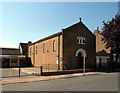
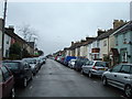
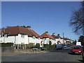
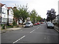
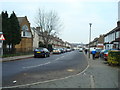
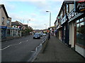
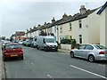
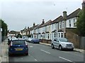
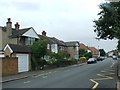
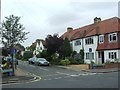
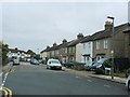
Photos of BR2 9TD

Area Information
BR2 9TD is a small residential postcode area in the London Borough of Bromley, England, with a population of 2271. Nestled in a historically significant part of Greater London, this area reflects Bromley’s evolution from a rural village to a suburban hub. Its compact size means it is tightly knit, with a mix of residential properties and proximity to key infrastructure. The area’s charm lies in its blend of modern convenience and historical roots, including Bromley’s medieval market and 19th-century railway development. Daily life here is shaped by its commuter appeal, with easy access to rail and tram networks connecting to London and surrounding areas. The postcode’s small footprint ensures a close-knit community, though its limited size means housing options are concentrated. For those seeking a balance between suburban tranquillity and urban accessibility, BR2 9TD offers a distinct blend of practicality and historical character.
- Area Type
- Postcode
- Area Size
- Not available
- Population
- 2271
- Population Density
- 6623 people/km²
The property market in BR2 9TD is characterised by a 58% home ownership rate, with flats forming the predominant accommodation type. This suggests a housing stock that leans towards smaller, managed properties rather than detached or semi-detached homes. The area’s compact size means the market is limited in scale, with fewer options for buyers seeking larger properties. The prevalence of flats may indicate a focus on rental or leasehold arrangements, though the exact proportion of the market that is rented versus owned is not specified. For buyers, this means the area is more suited to those prioritising convenience and proximity to transport over expansive living space. The small footprint of BR2 9TD also means that immediate surroundings, such as nearby wards, may hold more varied housing stock.
House Prices in BR2 9TD
No properties found in this postcode.
Energy Efficiency in BR2 9TD
The lifestyle in BR2 9TD is shaped by its proximity to retail, transport, and leisure options. Local shops include major chains such as Tesco Bromley, Waitrose Bromley, and Co-op Bromley, offering a range of everyday goods. The area’s rail and metro networks connect residents to Bromley’s town centre and beyond, while nearby airports provide international travel access. Though the data does not mention parks or recreational facilities, the presence of multiple transport hubs suggests a focus on practicality over green spaces. The mix of retail and transport amenities ensures daily life is convenient, with minimal need to travel far for essentials. The area’s compact nature means residents can access services within walking or short-travel distance, fostering a sense of self-sufficiency.
Amenities
Schools
BR2 9TD is served by a range of schools, including The Ravensbourne School (primary), Ravensbourne School for Girls (primary), and Ravensbourne School for Boys (primary), which cater to local children. Clark’s College, an independent school, offers additional educational options for families seeking alternative curricula. The presence of three primary schools suggests a strong focus on early education, though no secondary schools are listed in the data. The Bromley Pupil Referral Service, a specialist school, addresses specific educational needs. This mix of school types provides families with choices, from state-funded primary education to independent alternatives. However, the absence of secondary schools may require students to commute to nearby areas for further education.
| Rank | School | Type | Entry gender | Ages |
|---|
Explore more schools in this area
Go to Schools tabDemographics
The population of BR2 9TD has a median age of 47, with the most common age group being adults aged 30–64. This suggests a mature, stable community with a focus on established households. Home ownership rates stand at 58%, indicating a mix of owner-occupied and rental properties. The predominant accommodation type is flats, reflecting a housing stock tailored to smaller, more compact living. The predominant ethnic group is White, though no specific data on diversity or deprivation is provided. The age profile implies a population that is largely settled, with fewer young families or retirees compared to other areas. This demographic structure may influence local amenities and services, aligning with the needs of middle-aged residents. The absence of specific diversity metrics means broader social dynamics remain unexplored in the data.
Household Size
Accommodation Type
Tenure
Ethnic Group
Religion
Household Composition
Age
Household Deprivation
NS-SEC
Explore more demographic insights in this area
Go to Demographics tabPlanning
Planning Constraints
- Flood RiskPremium
- Ramsar Wetland SitesPremium
- Area of Outstanding Natural BeautyPremium
- Protected Nature ReservePremium
- Protected WoodlandPremium