Area Overview for BR2 9PP
Photos of BR2 9PP
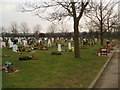
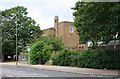
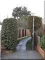
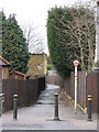
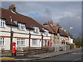
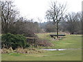
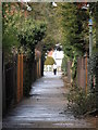
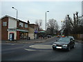
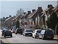
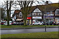
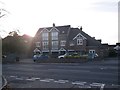
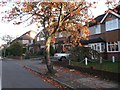
52 photos from this area
Area Information
Key information about the BR2 9PP including its size, population, and administrative classification.
- Area Type
- Postcode
- Area Size
- 9894 m²
- Population
- 1736
- Population Density
- 10023 people/km²
House Prices in BR2 9PP
46
Properties
£376,164
Average Sold Price
£59,500
Lowest Price
£592,500
Highest Price
Showing 46 properties
| Address | Type | Beds | Baths | Last Sale Price | Last Sale Date | |
|---|---|---|---|---|---|---|
| 102 Victoria Road, Bromley, BR2 9PP | Terraced | 3 | 1 | £531,500 | May 2025 | |
| 26 Victoria Road, Bromley, BR2 9PP | Terraced | 2 | 1 | £565,000 | Dec 2024 | |
| 58 Victoria Road, Bromley, BR2 9PP | Terraced | 3 | 2 | £550,000 | Mar 2023 | |
| 36 Victoria Road, Bromley, BR2 9PP | Retail | 2 | 1 | £450,000 | Oct 2022 | |
| 60 Victoria Road, Bromley, BR2 9PP | Retail | 3 | 2 | £592,500 | Mar 2022 | |
| 14 Victoria Road, Bromley, BR2 9PP | Detached | 2 | 1 | £520,000 | Dec 2021 | |
| 106 Victoria Road, Bromley, BR2 9PP | house | - | - | £350,000 | Sep 2021 | |
| 98 Victoria Road, Bromley, BR2 9PP | house | - | - | £425,000 | Jun 2021 | |
| 22 Victoria Road, Bromley, BR2 9PP | house | - | - | £499,950 | Feb 2021 | |
| 92 Victoria Road, Bromley, BR2 9PP | house | 2 | - | £475,000 | Dec 2020 |
Page 1 of 5
Energy Efficiency in BR2 9PP
Amenities
Schools
| Rank | School | Type | Entry gender | Ages |
|---|
Explore more schools in this area
Go to Schools tabDemographics
Household Size
Family (3-5 people)
most common
Accommodation Type
Houses
most common
Tenure
77
majority
Ethnic Group
White
most common
Religion
N/A
most common
Household Composition
N/A
most common
Age
47
median
Adults (30-64 years)
most common
Household Deprivation
N/A
with no deprivation
NS-SEC
48
in Lower managerial occupations
Explore more demographic insights in this area
Go to Demographics tabPlanning
Planning Constraints
- Flood RiskPremium
- Ramsar Wetland SitesPremium
- Area of Outstanding Natural BeautyPremium
- Protected Nature ReservePremium
- Protected WoodlandPremium