Area Overview for BR2 9PF
Photos of BR2 9PF
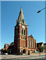
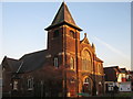
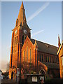
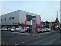
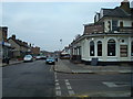
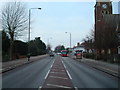
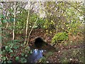
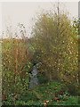
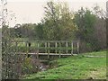
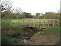
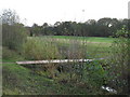
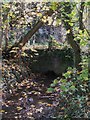
72 photos from this area
Area Information
Key information about the BR2 9PF including its size, population, and administrative classification.
- Area Type
- Postcode
- Area Size
- 9.4 hectares
- Population
- 2222
- Population Density
- 3167 people/km²
House Prices in BR2 9PF
28
Properties
£596,813
Average Sold Price
£115,000
Lowest Price
£1,605,000
Highest Price
Showing 28 properties
| Address | Type | Beds | Baths | Last Sale Price | Last Sale Date | |
|---|---|---|---|---|---|---|
| 54 Bromley Common, Bromley, BR2 9PF | Detached | 4 | 3 | £1,490,000 | Aug 2025 | |
| 68 Bromley Common, Bromley, BR2 9PF | Semi-detached | 4 | 1 | £965,000 | Aug 2025 | |
| 52 Bromley Common, Bromley, BR2 9PF | house | - | - | £911,000 | May 2025 | |
| 80 Bromley Common, Bromley, BR2 9PF | house | 6 | 5 | £1,605,000 | Dec 2024 | |
| 92 Bromley Common, Bromley, BR2 9PF | Detached | 5 | 3 | £1,000,000 | May 2023 | |
| 58 Bromley Common, Bromley, BR2 9PF | house | - | - | £1,168,000 | Jun 2021 | |
| 86 Bromley Common, Bromley, BR2 9PF | house | - | - | £850,000 | Jul 2019 | |
| 90 Bromley Common, Bromley, BR2 9PF | house | 4 | - | £470,000 | May 2012 | |
| 82 Bromley Common, Bromley, BR2 9PF | Semi-detached | - | - | £500,000 | May 2011 | |
| 50 Bromley Common, Bromley, BR2 9PF | Semi-detached | - | - | £325,000 | Jun 2001 |
Page 1 of 3
Energy Efficiency in BR2 9PF
Amenities
Schools
| Rank | School | Type | Entry gender | Ages |
|---|
Explore more schools in this area
Go to Schools tabDemographics
Household Size
Family (3-5 people)
most common
Accommodation Type
Houses
most common
Tenure
66
majority
Ethnic Group
White
most common
Religion
N/A
most common
Household Composition
N/A
most common
Age
47
median
Adults (30-64 years)
most common
Household Deprivation
N/A
with no deprivation
NS-SEC
48
in Lower managerial occupations
Explore more demographic insights in this area
Go to Demographics tabPlanning
Planning Constraints
- Flood RiskPremium
- Ramsar Wetland SitesPremium
- Area of Outstanding Natural BeautyPremium
- Protected Nature ReservePremium
- Protected WoodlandPremium