Area Overview for BR2 9DL
Photos of BR2 9DL
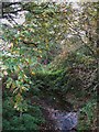
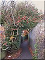
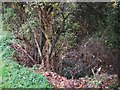
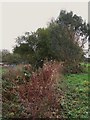
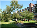
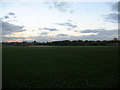
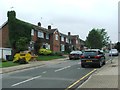
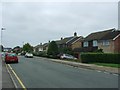
71 photos from this area
Area Information
Key information about the BR2 9DL including its size, population, and administrative classification.
- Area Type
- Postcode
- Area Size
- 9293 m²
- Population
- 1748
- Population Density
- 5461 people/km²
House Prices in BR2 9DL
17
Properties
£455,857
Average Sold Price
£166,000
Lowest Price
£850,000
Highest Price
Showing 17 properties
| Address | Type | Beds | Baths | Last Sale Price | Last Sale Date | |
|---|---|---|---|---|---|---|
| 31 Cheriton Avenue, Bromley, BR2 9DL | Detached | 3 | 2 | £850,000 | Mar 2025 | |
| 3 Cheriton Avenue, Bromley, BR2 9DL | house | 3 | 1 | £725,000 | Dec 2024 | |
| 9 Cheriton Avenue, Bromley, BR2 9DL | house | - | - | £761,500 | Sep 2021 | |
| 11 Cheriton Avenue, Bromley, BR2 9DL | house | 4 | - | £718,000 | Nov 2020 | |
| 29 Cheriton Avenue, Bromley, BR2 9DL | Semi-detached | 3 | 2 | £665,000 | Oct 2017 | |
| 23 Cheriton Avenue, Bromley, BR2 9DL | Detached | 3 | - | £450,000 | Feb 2014 | |
| 1 Cheriton Avenue, Bromley, BR2 9DL | house | - | - | £422,500 | Mar 2012 | |
| 21 Cheriton Avenue, Bromley, BR2 9DL | house | - | - | £360,000 | Jan 2012 | |
| 25 Cheriton Avenue, Bromley, BR2 9DL | house | 3 | - | £308,000 | Mar 2010 | |
| 33 Cheriton Avenue, Bromley, BR2 9DL | Detached | - | - | £296,500 | Apr 2003 |
Page 1 of 2
Energy Efficiency in BR2 9DL
Amenities
Schools
| Rank | School | Type | Entry gender | Ages |
|---|
Explore more schools in this area
Go to Schools tabDemographics
Household Size
Family (3-5 people)
most common
Accommodation Type
Houses
most common
Tenure
77
majority
Ethnic Group
White
most common
Religion
N/A
most common
Household Composition
N/A
most common
Age
47
median
Adults (30-64 years)
most common
Household Deprivation
N/A
with no deprivation
NS-SEC
51
in Lower managerial occupations
Explore more demographic insights in this area
Go to Demographics tabPlanning
Planning Constraints
- Flood RiskPremium
- Ramsar Wetland SitesPremium
- Area of Outstanding Natural BeautyPremium
- Protected Nature ReservePremium
- Protected WoodlandPremium