Area Overview for BR2 8DA
Photos of BR2 8DA
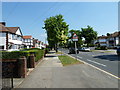
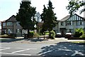
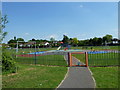
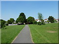
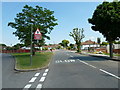
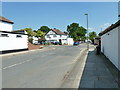
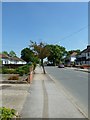
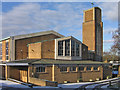
79 photos from this area
Area Information
Key information about the BR2 8DA including its size, population, and administrative classification.
- Area Type
- Postcode
- Area Size
- 1.4 hectares
- Population
- 1681
- Population Density
- 5265 people/km²
House Prices in BR2 8DA
33
Properties
£308,133
Average Sold Price
£72,500
Lowest Price
£610,000
Highest Price
Showing 33 properties
| Address | Type | Beds | Baths | Last Sale Price | Last Sale Date | |
|---|---|---|---|---|---|---|
| 8 Birch Row, Bromley, BR2 8DA | Semi-detached | 4 | 3 | £610,000 | Nov 2022 | |
| 38 Birch Row, Bromley, BR2 8DA | Semi-detached | 3 | 1 | £405,000 | Aug 2022 | |
| 4 Birch Row, Bromley, BR2 8DA | Semi-detached | 3 | 1 | £398,000 | Feb 2020 | |
| 36 Birch Row, Bromley, BR2 8DA | Semi-detached | 4 | 3 | £475,000 | Jan 2020 | |
| 22 Birch Row, Bromley, BR2 8DA | house | - | - | £480,000 | Oct 2019 | |
| 50 Birch Row, Bromley, BR2 8DA | Bungalow | 1 | 1 | £300,000 | Oct 2018 | |
| 18 Birch Row, Bromley, BR2 8DA | Semi-detached | 3 | 1 | £360,000 | Aug 2017 | |
| 14 Birch Row, Bromley, BR2 8DA | house | - | - | £345,000 | Feb 2015 | |
| 20 Birch Row, Bromley, BR2 8DA | Semi-detached | 3 | - | £325,000 | Dec 2014 | |
| 12 Birch Row, Bromley, BR2 8DA | house | 3 | - | £260,000 | Sep 2012 |
Page 1 of 4
Energy Efficiency in BR2 8DA
Amenities
Schools
| Rank | School | Type | Entry gender | Ages |
|---|
Explore more schools in this area
Go to Schools tabDemographics
Household Size
Family (3-5 people)
most common
Accommodation Type
Houses
most common
Tenure
67
majority
Ethnic Group
White
most common
Religion
N/A
most common
Household Composition
N/A
most common
Age
47
median
Adults (30-64 years)
most common
Household Deprivation
N/A
with no deprivation
NS-SEC
37
in Lower managerial occupations
Explore more demographic insights in this area
Go to Demographics tabPlanning
Planning Constraints
- Flood RiskPremium
- Ramsar Wetland SitesPremium
- Area of Outstanding Natural BeautyPremium
- Protected Nature ReservePremium
- Protected WoodlandPremium