Area Overview for BR2 8AY
Photos of BR2 8AY
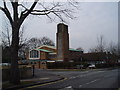
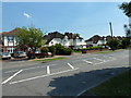
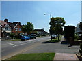
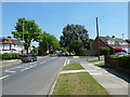
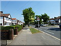
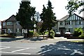
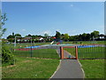
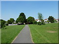

79 photos from this area
Area Information
Key information about the BR2 8AY including its size, population, and administrative classification.
- Area Type
- Postcode
- Area Size
- 6.5 hectares
- Population
- 1711
- Population Density
- 2963 people/km²
House Prices in BR2 8AY
39
Properties
£615,060
Average Sold Price
£130,000
Lowest Price
£1,300,000
Highest Price
Showing 39 properties
| Address | Type | Beds | Baths | Last Sale Price | Last Sale Date | |
|---|---|---|---|---|---|---|
| 28 Blackbrook Lane, Bickley, Bromley, BR2 8AY | Semi-detached | 4 | 2 | £715,000 | Sep 2025 | |
| 24 Blackbrook Lane, Bickley, Bromley, BR2 8AY | Semi-detached | 3 | 2 | £728,000 | Mar 2025 | |
| 32 Blackbrook Lane, Bickley, Bromley, BR2 8AY | Semi-detached | 5 | 3 | £930,000 | Jul 2024 | |
| 16 Blackbrook Lane, Bickley, Bromley, BR2 8AY | Terraced | 3 | 1 | £495,000 | Mar 2024 | |
| 40 Blackbrook Lane, Bickley, Bromley, BR2 8AY | Semi-detached | 3 | 1 | £750,000 | Jul 2022 | |
| 22 Blackbrook Lane, Bickley, Bromley, BR2 8AY | Semi-detached | 3 | - | £725,000 | Apr 2022 | |
| 36 Blackbrook Lane, Bickley, Bromley, BR2 8AY | house | 4 | 3 | £750,000 | Apr 2022 | |
| 20 Blackbrook Lane, Bickley, Bromley, BR2 8AY | Semi-detached | 4 | 3 | £1,040,000 | Sep 2021 | |
| 30 Blackbrook Lane, Bickley, Bromley, BR2 8AY | Semi-detached | 3 | 1 | £562,500 | Jan 2020 | |
| 14 Blackbrook Lane, Bickley, Bromley, BR2 8AY | Terraced | 3 | 1 | £470,000 | Jun 2018 |
Page 1 of 4
Energy Efficiency in BR2 8AY
Amenities
Schools
| Rank | School | Type | Entry gender | Ages |
|---|
Explore more schools in this area
Go to Schools tabDemographics
Household Size
Family (3-5 people)
most common
Accommodation Type
Houses
most common
Tenure
89
majority
Ethnic Group
White
most common
Religion
N/A
most common
Household Composition
N/A
most common
Age
47
median
Adults (30-64 years)
most common
Household Deprivation
N/A
with no deprivation
NS-SEC
51
in Lower managerial occupations
Explore more demographic insights in this area
Go to Demographics tabPlanning
Planning Constraints
- Flood RiskPremium
- Ramsar Wetland SitesPremium
- Area of Outstanding Natural BeautyPremium
- Protected Nature ReservePremium
- Protected WoodlandPremium