Area Overview for BR2 6EQ
Photos of BR2 6EQ
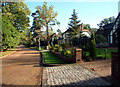
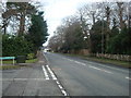
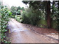
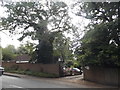
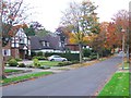
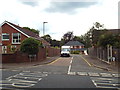
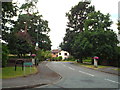
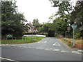
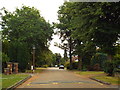
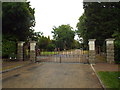
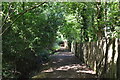
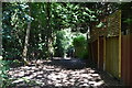
45 photos from this area
Area Information
Key information about the BR2 6EQ including its size, population, and administrative classification.
- Area Type
- Postcode
- Area Size
- 12.0 hectares
- Population
- 1659
- Population Density
- 1570 people/km²
House Prices in BR2 6EQ
26
Properties
£2,331,725
Average Sold Price
£275,000
Lowest Price
£6,480,000
Highest Price
Showing 26 properties
| Address | Type | Beds | Baths | Last Sale Price | Last Sale Date | |
|---|---|---|---|---|---|---|
| 10 Forest Ridge, Keston, BR2 6EQ | Detached | 5 | 5 | £4,075,000 | Mar 2025 | |
| 38 Forest Ridge, Keston, BR2 6EQ | Detached | 7 | 5 | £6,480,000 | May 2024 | |
| 14 Forest Ridge, Keston, BR2 6EQ | house | 3 | 3 | £1,800,000 | Dec 2021 | |
| 16 Forest Ridge, Keston, BR2 6EQ | Detached | 5 | - | £3,320,000 | Jun 2021 | |
| 32 Forest Ridge, Keston, BR2 6EQ | Detached | 6 | 5 | £3,333,333 | Mar 2021 | |
| 30 Forest Ridge, Keston, BR2 6EQ | Detached | 4 | 2 | £2,816,000 | Jun 2018 | |
| 24 Forest Ridge, Keston, BR2 6EQ | Detached | 7 | 6 | £5,150,000 | Mar 2018 | |
| 44 Forest Ridge, Keston, BR2 6EQ | Detached | 4 | 2 | £1,360,000 | Apr 2016 | |
| 18 Forest Ridge, Keston, BR2 6EQ | Detached | 1 | 2 | £1,280,000 | Apr 2013 | |
| 6 Forest Ridge, Keston, BR2 6EQ | Detached | 5 | - | £1,595,000 | Feb 2010 |
Page 1 of 3
Energy Efficiency in BR2 6EQ
Amenities
Schools
| Rank | School | Type | Entry gender | Ages |
|---|
Explore more schools in this area
Go to Schools tabDemographics
Household Size
Family (3-5 people)
most common
Accommodation Type
Houses
most common
Tenure
96
majority
Ethnic Group
White
most common
Religion
N/A
most common
Household Composition
N/A
most common
Age
47
median
Adults (30-64 years)
most common
Household Deprivation
N/A
with no deprivation
NS-SEC
46
in Lower managerial occupations
Explore more demographic insights in this area
Go to Demographics tabPlanning
Planning Constraints
- Flood RiskPremium
- Ramsar Wetland SitesPremium
- Area of Outstanding Natural BeautyPremium
- Protected Nature ReservePremium
- Protected WoodlandPremium