Area Overview for BR2 6AD
Photos of BR2 6AD
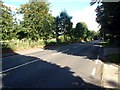
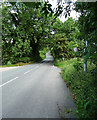
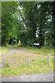
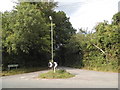
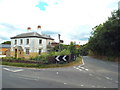
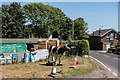
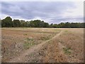
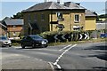
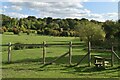
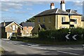
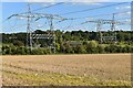
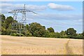
45 photos from this area
Area Information
Key information about the BR2 6AD including its size, population, and administrative classification.
- Area Type
- Postcode
- Area Size
- 22.0 hectares
- Population
- 2029
- Population Density
- 204 people/km²
House Prices in BR2 6AD
31
Properties
£788,700
Average Sold Price
£195,000
Lowest Price
£1,453,000
Highest Price
Showing 31 properties
| Address | Type | Beds | Baths | Last Sale Price | Last Sale Date | |
|---|---|---|---|---|---|---|
| Rooks Wood, Downe Road, Keston, BR2 6AD | Detached | 3 | 3 | £1,400,000 | Sep 2024 | |
| Thorn Cottage, Downe Road, Keston, BR2 6AD | house | 4 | 2 | £1,275,000 | Jun 2024 | |
| Tall Trees, Downe Road, Keston, BR2 6AD | Detached | 4 | 3 | £1,453,000 | Feb 2022 | |
| Loders, Downe Road, Keston, BR2 6AD | Detached | 4 | 2 | £1,020,000 | Apr 2019 | |
| Shenwood, Downe Road, Keston, BR2 6AD | house | - | - | £761,400 | Nov 2018 | |
| Fintry, Downe Road, Keston, BR2 6AD | Land | - | - | £1,175,000 | Sep 2018 | |
| The Spinney, Downe Road, Keston, BR2 6AD | Bungalow | 3 | 3 | £675,000 | Jun 2016 | |
| Wyndlea, Downe Road, Keston, BR2 6AD | Detached | - | - | £555,000 | Dec 2005 | |
| Fallowfield, Downe Road, Keston, BR2 6AD | Detached | - | - | £370,000 | Aug 1997 | |
| Ashdowne, Downe Road, Keston, BR2 6AD | Land | - | - | £290,000 | Mar 1997 |
Page 1 of 4
Energy Efficiency in BR2 6AD
Amenities
Schools
| Rank | School | Type | Entry gender | Ages |
|---|
Explore more schools in this area
Go to Schools tabDemographics
Household Size
Family (3-5 people)
most common
Accommodation Type
Houses
most common
Tenure
79
majority
Ethnic Group
White
most common
Religion
N/A
most common
Household Composition
N/A
most common
Age
47
median
Adults (30-64 years)
most common
Household Deprivation
N/A
with no deprivation
NS-SEC
39
in Lower managerial occupations
Explore more demographic insights in this area
Go to Demographics tabPlanning
Planning Constraints
- Flood RiskPremium
- Ramsar Wetland SitesPremium
- Area of Outstanding Natural BeautyPremium
- Protected Nature ReservePremium
- Protected WoodlandPremium