Area Overview for BR2 0UP
Photos of BR2 0UP
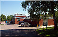
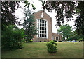
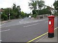
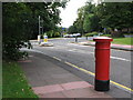
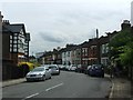
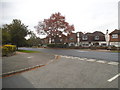
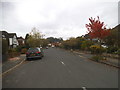
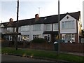
56 photos from this area
Area Information
Key information about the BR2 0UP including its size, population, and administrative classification.
- Area Type
- Postcode
- Area Size
- 9929 m²
- Population
- 1780
- Population Density
- 4756 people/km²
House Prices in BR2 0UP
24
Properties
£512,134
Average Sold Price
£205,000
Lowest Price
£795,000
Highest Price
Showing 24 properties
| Address | Type | Beds | Baths | Last Sale Price | Last Sale Date | |
|---|---|---|---|---|---|---|
| 21 Langham Park Place, Bromley, BR2 0UP | Terraced | 4 | 3 | £720,000 | Jun 2025 | |
| 35 Langham Park Place, Bromley, BR2 0UP | Detached | 4 | 3 | £715,000 | Feb 2024 | |
| 19 Langham Park Place, Bromley, BR2 0UP | house | 4 | 3 | £775,000 | Sep 2021 | |
| 17 Langham Park Place, Bromley, BR2 0UP | house | - | - | £745,000 | Jun 2021 | |
| 39 Langham Park Place, Bromley, BR2 0UP | Semi-detached | 3 | 3 | £795,000 | Dec 2020 | |
| 2 Langham Park Place, Bromley, BR2 0UP | house | - | - | £705,000 | Mar 2020 | |
| 5 Langham Park Place, Bromley, BR2 0UP | house | - | - | £630,000 | Apr 2018 | |
| 4 Langham Park Place, Bromley, BR2 0UP | Semi-detached | 4 | 3 | £705,000 | Nov 2017 | |
| 31 Langham Park Place, Bromley, BR2 0UP | Terraced | 4 | 3 | £690,000 | May 2017 | |
| 13 Langham Park Place, Bromley, BR2 0UP | house | - | - | £470,000 | Mar 2013 |
Page 1 of 3
Energy Efficiency in BR2 0UP
Amenities
Schools
| Rank | School | Type | Entry gender | Ages |
|---|
Explore more schools in this area
Go to Schools tabDemographics
Household Size
Family (3-5 people)
most common
Accommodation Type
Flats
most common
Tenure
67
majority
Ethnic Group
White
most common
Religion
N/A
most common
Household Composition
N/A
most common
Age
47
median
Adults (30-64 years)
most common
Household Deprivation
N/A
with no deprivation
NS-SEC
50
in Lower managerial occupations
Explore more demographic insights in this area
Go to Demographics tabPlanning
Planning Constraints
- Flood RiskPremium
- Ramsar Wetland SitesPremium
- Area of Outstanding Natural BeautyPremium
- Protected Nature ReservePremium
- Protected WoodlandPremium