Area Overview for BR2 0HP
Photos of BR2 0HP
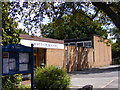
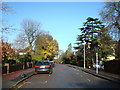
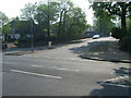
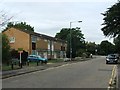
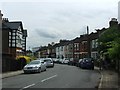
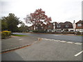
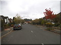
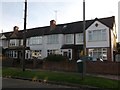
56 photos from this area
Area Information
Key information about the BR2 0HP including its size, population, and administrative classification.
- Area Type
- Postcode
- Area Size
- 1.8 hectares
- Population
- 1701
- Population Density
- 4982 people/km²
House Prices in BR2 0HP
53
Properties
£481,559
Average Sold Price
£180,000
Lowest Price
£699,950
Highest Price
Showing 53 properties
| Address | Type | Beds | Baths | Last Sale Price | Last Sale Date | |
|---|---|---|---|---|---|---|
| 7B Church Road, Shortlands, Bromley, BR2 0HP | Flat | - | - | £495,000 | Dec 2021 | |
| 3C Church Road, Shortlands, Bromley, BR2 0HP | Detached | 4 | 3 | £635,000 | Nov 2021 | |
| 5B Church Road, Shortlands, Bromley, BR2 0HP | house | - | - | £699,950 | May 2021 | |
| 7A Church Road, Shortlands, Bromley, BR2 0HP | Flat | - | - | £530,000 | May 2019 | |
| 3B Church Road, Shortlands, Bromley, BR2 0HP | house | - | - | £570,000 | Feb 2018 | |
| 5A Church Road, Shortlands, Bromley, BR2 0HP | Semi-detached | 4 | 3 | £625,000 | Nov 2017 | |
| 3 Church Road, Shortlands, Bromley, BR2 0HP | Terraced | 4 | - | £499,995 | Aug 2014 | |
| 4 Church Road, Shortlands, Bromley, BR2 0HP | house | - | - | £695,000 | Nov 2010 | |
| 6 Church Road, Shortlands, Bromley, BR2 0HP | Semi-detached | 5 | 2 | £525,000 | Apr 2010 | |
| 10 Church Road, Shortlands, Bromley, BR2 0HP | house | - | - | £490,000 | Jul 2009 |
Page 1 of 6
Energy Efficiency in BR2 0HP
Amenities
Schools
| Rank | School | Type | Entry gender | Ages |
|---|
Explore more schools in this area
Go to Schools tabDemographics
Household Size
One person
most common
Accommodation Type
Flats
most common
Tenure
69
majority
Ethnic Group
White
most common
Religion
N/A
most common
Household Composition
N/A
most common
Age
47
median
Adults (30-64 years)
most common
Household Deprivation
N/A
with no deprivation
NS-SEC
51
in Lower managerial occupations
Explore more demographic insights in this area
Go to Demographics tabPlanning
Planning Constraints
- Flood RiskPremium
- Ramsar Wetland SitesPremium
- Area of Outstanding Natural BeautyPremium
- Protected Nature ReservePremium
- Protected WoodlandPremium