Area Overview for BR1 5SA
Photos of BR1 5SA
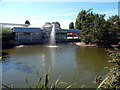
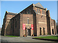
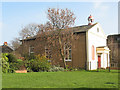
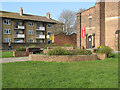
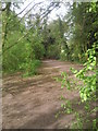
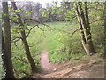
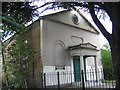
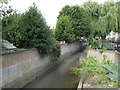
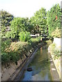
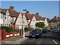
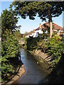
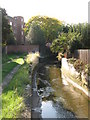
100 photos from this area
Area Information
Key information about the BR1 5SA including its size, population, and administrative classification.
- Area Type
- Postcode
- Area Size
- 1.1 hectares
- Population
- 1788
- Population Density
- 5531 people/km²
House Prices in BR1 5SA
28
Properties
£265,182
Average Sold Price
£55,000
Lowest Price
£550,000
Highest Price
Showing 28 properties
| Address | Type | Beds | Baths | Last Sale Price | Last Sale Date | |
|---|---|---|---|---|---|---|
| 69 Whitefoot Lane, Bromley, BR1 5SA | Terraced | 3 | 1 | £484,000 | Feb 2023 | |
| 57 Whitefoot Lane, Bromley, BR1 5SA | Terraced | 5 | 2 | £550,000 | Jan 2023 | |
| 79 Whitefoot Lane, Bromley, BR1 5SA | house | 3 | 1 | £510,000 | Jul 2022 | |
| 91 Whitefoot Lane, Bromley, BR1 5SA | house | - | - | £410,000 | Oct 2021 | |
| 93 Whitefoot Lane, Bromley, BR1 5SA | house | - | - | £262,500 | Feb 2020 | |
| 55 Whitefoot Lane, Bromley, BR1 5SA | Terraced | - | - | £193,000 | Jun 2004 | |
| 85 Whitefoot Lane, Bromley, BR1 5SA | Terraced | - | - | £170,000 | Apr 2004 | |
| 43 Whitefoot Lane, Bromley, BR1 5SA | Semi-detached | 1 | - | £142,500 | Aug 2001 | |
| 67 Whitefoot Lane, Bromley, BR1 5SA | Terraced | - | - | £78,000 | Oct 1997 | |
| 75 Whitefoot Lane, Bromley, BR1 5SA | Terraced | - | - | £55,000 | Aug 1996 |
Page 1 of 3
Energy Efficiency in BR1 5SA
Amenities
Schools
| Rank | School | Type | Entry gender | Ages |
|---|
Explore more schools in this area
Go to Schools tabDemographics
Household Size
Family (3-5 people)
most common
Accommodation Type
Houses
most common
Tenure
57
majority
Ethnic Group
black_total
most common
Religion
N/A
most common
Household Composition
N/A
most common
Age
47
median
Adults (30-64 years)
most common
Household Deprivation
N/A
with no deprivation
NS-SEC
27
in Lower managerial occupations
Explore more demographic insights in this area
Go to Demographics tabPlanning
Planning Constraints
- Flood RiskPremium
- Ramsar Wetland SitesPremium
- Area of Outstanding Natural BeautyPremium
- Protected Nature ReservePremium
- Protected WoodlandPremium