Area Overview for BR1 5RP
Photos of BR1 5RP
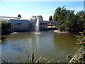
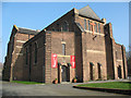
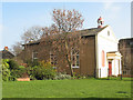
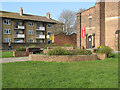
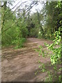
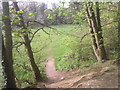
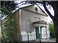
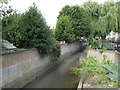
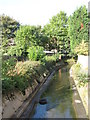
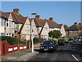
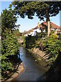
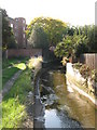
100 photos from this area
Area Information
Key information about the BR1 5RP including its size, population, and administrative classification.
- Area Type
- Postcode
- Area Size
- 9692 m²
- Population
- 1785
- Population Density
- 6900 people/km²
House Prices in BR1 5RP
28
Properties
£309,644
Average Sold Price
£77,500
Lowest Price
£525,000
Highest Price
Showing 28 properties
| Address | Type | Beds | Baths | Last Sale Price | Last Sale Date | |
|---|---|---|---|---|---|---|
| 2 Cotton Hill, Bromley, BR1 5RP | Semi-detached | 3 | 1 | £525,000 | Oct 2024 | |
| 34 Cotton Hill, Bromley, BR1 5RP | Semi-detached | 3 | 1 | £488,000 | Sep 2024 | |
| 12 Cotton Hill, Bromley, BR1 5RP | Semi-detached | 3 | 1 | £370,000 | May 2019 | |
| 14 Cotton Hill, Bromley, BR1 5RP | house | - | - | £433,000 | May 2017 | |
| 48 Cotton Hill, Bromley, BR1 5RP | house | - | - | £455,000 | Apr 2017 | |
| 30 Cotton Hill, Bromley, BR1 5RP | house | - | - | £430,000 | Mar 2017 | |
| 56 Cotton Hill, Bromley, BR1 5RP | house | - | - | £425,000 | Jun 2016 | |
| 10 Cotton Hill, Bromley, BR1 5RP | house | - | - | £355,000 | Aug 2015 | |
| 42 Cotton Hill, Bromley, BR1 5RP | Terraced | 3 | 1 | £265,000 | Jan 2013 | |
| 20 Cotton Hill, Bromley, BR1 5RP | house | 3 | - | £245,500 | Feb 2012 |
Page 1 of 3
Energy Efficiency in BR1 5RP
Amenities
Schools
| Rank | School | Type | Entry gender | Ages |
|---|
Explore more schools in this area
Go to Schools tabDemographics
Household Size
Family (3-5 people)
most common
Accommodation Type
Houses
most common
Tenure
74
majority
Ethnic Group
White
most common
Religion
N/A
most common
Household Composition
N/A
most common
Age
47
median
Adults (30-64 years)
most common
Household Deprivation
N/A
with no deprivation
NS-SEC
33
in Lower managerial occupations
Explore more demographic insights in this area
Go to Demographics tabPlanning
Planning Constraints
- Flood RiskPremium
- Ramsar Wetland SitesPremium
- Area of Outstanding Natural BeautyPremium
- Protected Nature ReservePremium
- Protected WoodlandPremium