Area Overview for BR1 5NL
Photos of BR1 5NL
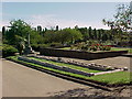
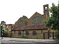
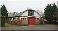
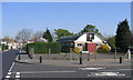
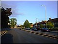
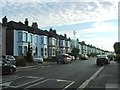
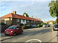
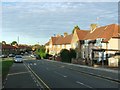
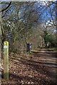
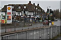
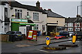
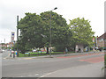
68 photos from this area
Area Information
Key information about the BR1 5NL including its size, population, and administrative classification.
- Area Type
- Postcode
- Area Size
- 5998 m²
- Population
- 1480
- Population Density
- 11411 people/km²
House Prices in BR1 5NL
27
Properties
£225,916
Average Sold Price
£33,320
Lowest Price
£430,000
Highest Price
Showing 27 properties
| Address | Type | Beds | Baths | Last Sale Price | Last Sale Date | |
|---|---|---|---|---|---|---|
| 200 Shroffold Road, Bromley, BR1 5NL | Terraced | 3 | 1 | £430,000 | Mar 2025 | |
| 242 Shroffold Road, Bromley, BR1 5NL | house | 2 | 1 | £390,000 | Aug 2024 | |
| 204 Shroffold Road, Bromley, BR1 5NL | house | - | - | £350,000 | Jul 2023 | |
| 228 Shroffold Road, Bromley, BR1 5NL | Terraced | 2 | - | £385,000 | May 2022 | |
| 212 Shroffold Road, Bromley, BR1 5NL | Terraced | 2 | 1 | £400,000 | Oct 2021 | |
| 244 Shroffold Road, Bromley, BR1 5NL | Terraced | 2 | - | £295,000 | Feb 2017 | |
| 252 Shroffold Road, Bromley, BR1 5NL | house | 2 | - | £210,000 | Jan 2014 | |
| 218 Shroffold Road, Bromley, BR1 5NL | house | 2 | 1 | £135,000 | May 2009 | |
| 236 Shroffold Road, Bromley, BR1 5NL | house | - | - | £148,000 | Oct 2003 | |
| 210 Shroffold Road, Bromley, BR1 5NL | Terraced | - | - | £150,000 | Sep 2003 |
Page 1 of 3
Energy Efficiency in BR1 5NL
Amenities
Schools
| Rank | School | Type | Entry gender | Ages |
|---|
Explore more schools in this area
Go to Schools tabDemographics
Household Size
Family (3-5 people)
most common
Accommodation Type
Houses
most common
Tenure
46
majority
Ethnic Group
White
most common
Religion
N/A
most common
Household Composition
N/A
most common
Age
47
median
Adults (30-64 years)
most common
Household Deprivation
N/A
with no deprivation
NS-SEC
24
in Lower managerial occupations
Explore more demographic insights in this area
Go to Demographics tabPlanning
Planning Constraints
- Flood RiskPremium
- Ramsar Wetland SitesPremium
- Area of Outstanding Natural BeautyPremium
- Protected Nature ReservePremium
- Protected WoodlandPremium