Area Overview for BR1 5LY
Photos of BR1 5LY
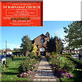
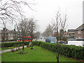
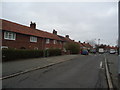
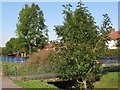
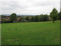
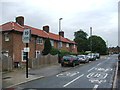
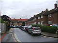
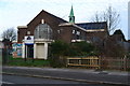
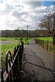
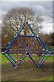
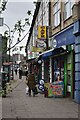
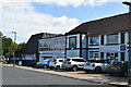
46 photos from this area
Area Information
Key information about the BR1 5LY including its size, population, and administrative classification.
- Area Type
- Postcode
- Area Size
- 8545 m²
- Population
- 1480
- Population Density
- 11411 people/km²
House Prices in BR1 5LY
44
Properties
£252,722
Average Sold Price
£59,995
Lowest Price
£410,000
Highest Price
Showing 44 properties
| Address | Type | Beds | Baths | Last Sale Price | Last Sale Date | |
|---|---|---|---|---|---|---|
| 49 Lamerock Road, Bromley, BR1 5LY | Terraced | 3 | 1 | £410,000 | Dec 2025 | |
| 31 Lamerock Road, Bromley, BR1 5LY | Terraced | 2 | 1 | £380,000 | Dec 2023 | |
| 85 Lamerock Road, Bromley, BR1 5LY | house | - | - | £327,000 | Sep 2021 | |
| 19 Lamerock Road, Bromley, BR1 5LY | Terraced | 2 | 1 | £358,500 | Jun 2021 | |
| 45 Lamerock Road, Bromley, BR1 5LY | house | - | - | £328,000 | Jun 2021 | |
| 47 Lamerock Road, Bromley, BR1 5LY | Terraced | 2 | 1 | £318,000 | May 2021 | |
| 39 Lamerock Road, Bromley, BR1 5LY | Terraced | 2 | 1 | £295,000 | Apr 2020 | |
| 13 Lamerock Road, Bromley, BR1 5LY | Terraced | 2 | 1 | £325,000 | Jul 2018 | |
| 23 Lamerock Road, Bromley, BR1 5LY | Terraced | 2 | 1 | £300,000 | Jul 2018 | |
| 65 Lamerock Road, Bromley, BR1 5LY | Terraced | 3 | - | £307,000 | Jul 2015 |
Page 1 of 5
Energy Efficiency in BR1 5LY
Amenities
Schools
| Rank | School | Type | Entry gender | Ages |
|---|
Explore more schools in this area
Go to Schools tabDemographics
Household Size
Family (3-5 people)
most common
Accommodation Type
Houses
most common
Tenure
46
majority
Ethnic Group
White
most common
Religion
N/A
most common
Household Composition
N/A
most common
Age
47
median
Adults (30-64 years)
most common
Household Deprivation
N/A
with no deprivation
NS-SEC
24
in Lower managerial occupations
Explore more demographic insights in this area
Go to Demographics tabPlanning
Planning Constraints
- Flood RiskPremium
- Ramsar Wetland SitesPremium
- Area of Outstanding Natural BeautyPremium
- Protected Nature ReservePremium
- Protected WoodlandPremium