Area Overview for BR1 5LJ
Photos of BR1 5LJ

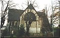
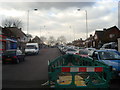
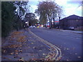
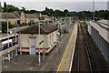
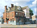
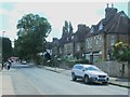
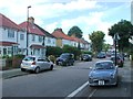
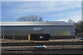
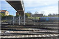
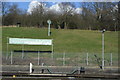
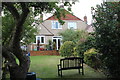
100 photos from this area
Area Information
Key information about the BR1 5LJ including its size, population, and administrative classification.
- Area Type
- Postcode
- Area Size
- 1.2 hectares
- Population
- 1545
- Population Density
- 11245 people/km²
House Prices in BR1 5LJ
54
Properties
£260,320
Average Sold Price
£132,500
Lowest Price
£435,000
Highest Price
Showing 54 properties
| Address | Type | Beds | Baths | Last Sale Price | Last Sale Date | |
|---|---|---|---|---|---|---|
| 3 Bedivere Road, Bromley, BR1 5LJ | Terraced | 2 | 1 | £365,000 | Jan 2025 | |
| 37 Bedivere Road, Bromley, BR1 5LJ | Terraced | 2 | 1 | £350,000 | Oct 2024 | |
| 18 Bedivere Road, Bromley, BR1 5LJ | Retail | 3 | 1 | £435,000 | Oct 2022 | |
| 34 Bedivere Road, Bromley, BR1 5LJ | house | - | - | £391,000 | Jun 2022 | |
| 29 Bedivere Road, Bromley, BR1 5LJ | Terraced | 3 | - | £387,000 | Jan 2022 | |
| 40 Bedivere Road, Bromley, BR1 5LJ | house | 3 | - | £345,000 | Jun 2021 | |
| 4 Bedivere Road, Bromley, BR1 5LJ | Terraced | 2 | 1 | £385,000 | Jan 2021 | |
| 24 Bedivere Road, Bromley, BR1 5LJ | Terraced | 3 | 1 | £345,000 | Oct 2019 | |
| 49 Bedivere Road, Bromley, BR1 5LJ | Terraced | 2 | 1 | £322,500 | Oct 2017 | |
| 6 Bedivere Road, Bromley, BR1 5LJ | house | - | - | £295,000 | Aug 2016 |
Page 1 of 6
Energy Efficiency in BR1 5LJ
Amenities
Schools
| Rank | School | Type | Entry gender | Ages |
|---|
Explore more schools in this area
Go to Schools tabDemographics
Household Size
Family (3-5 people)
most common
Accommodation Type
Houses
most common
Tenure
39
majority
Ethnic Group
White
most common
Religion
N/A
most common
Household Composition
N/A
most common
Age
47
median
Adults (30-64 years)
most common
Household Deprivation
N/A
with no deprivation
NS-SEC
25
in Lower managerial occupations
Explore more demographic insights in this area
Go to Demographics tabPlanning
Planning Constraints
- Flood RiskPremium
- Ramsar Wetland SitesPremium
- Area of Outstanding Natural BeautyPremium
- Protected Nature ReservePremium
- Protected WoodlandPremium