Area Overview for BR1 5HP
Photos of BR1 5HP
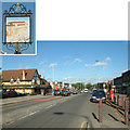
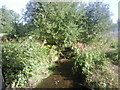
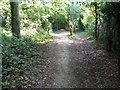
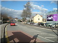
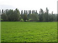
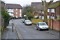
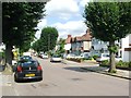
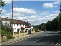
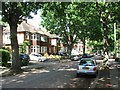
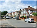
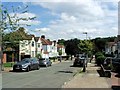
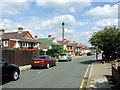
57 photos from this area
Area Information
Key information about the BR1 5HP including its size, population, and administrative classification.
- Area Type
- Postcode
- Area Size
- 1.2 hectares
- Population
- 1689
- Population Density
- 6516 people/km²
House Prices in BR1 5HP
42
Properties
£303,094
Average Sold Price
£127,500
Lowest Price
£450,000
Highest Price
Showing 42 properties
| Address | Type | Beds | Baths | Last Sale Price | Last Sale Date | |
|---|---|---|---|---|---|---|
| 536 Downham Way, Bromley, BR1 5HP | Terraced | 3 | 1 | £450,000 | Feb 2025 | |
| 528 Downham Way, Bromley, BR1 5HP | Terraced | 3 | 1 | £390,000 | Feb 2024 | |
| 542 Downham Way, Bromley, BR1 5HP | house | 3 | 1 | £400,000 | Mar 2022 | |
| 506 Downham Way, Bromley, BR1 5HP | house | 2 | 1 | £387,000 | Mar 2022 | |
| 494 Downham Way, Bromley, BR1 5HP | Terraced | 3 | 1 | £370,000 | Dec 2021 | |
| 522 Downham Way, Bromley, BR1 5HP | house | - | - | £325,000 | Sep 2021 | |
| 514 Downham Way, Bromley, BR1 5HP | house | - | - | £446,000 | Aug 2021 | |
| 492 Downham Way, Bromley, BR1 5HP | Terraced | 4 | 2 | £440,000 | Jul 2020 | |
| 538 Downham Way, Bromley, BR1 5HP | Terraced | 3 | - | £350,000 | Jul 2016 | |
| 510 Downham Way, Bromley, BR1 5HP | Terraced | 2 | 1 | £249,999 | Feb 2015 |
Page 1 of 5
Energy Efficiency in BR1 5HP
Amenities
Schools
| Rank | School | Type | Entry gender | Ages |
|---|
Explore more schools in this area
Go to Schools tabDemographics
Household Size
Family (3-5 people)
most common
Accommodation Type
Houses
most common
Tenure
43
majority
Ethnic Group
White
most common
Religion
N/A
most common
Household Composition
N/A
most common
Age
47
median
Adults (30-64 years)
most common
Household Deprivation
N/A
with no deprivation
NS-SEC
27
in Lower managerial occupations
Explore more demographic insights in this area
Go to Demographics tabPlanning
Planning Constraints
- Flood RiskPremium
- Ramsar Wetland SitesPremium
- Area of Outstanding Natural BeautyPremium
- Protected Nature ReservePremium
- Protected WoodlandPremium