Area Overview for BR1 4RB
Photos of BR1 4RB
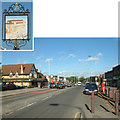
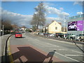
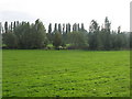
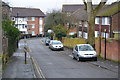
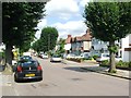
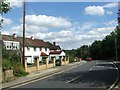
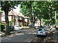
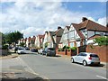
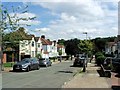
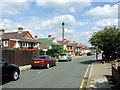
57 photos from this area
Area Information
Key information about the BR1 4RB including its size, population, and administrative classification.
- Area Type
- Postcode
- Area Size
- 9332 m²
- Population
- Not available
- Population Density
- Not available
House Prices in BR1 4RB
47
Properties
£270,617
Average Sold Price
£57,000
Lowest Price
£481,500
Highest Price
Showing 47 properties
| Address | Type | Beds | Baths | Last Sale Price | Last Sale Date | |
|---|---|---|---|---|---|---|
| 61 Pontefract Road, Bromley, BR1 4RB | Terraced | 2 | 2 | £350,000 | Jul 2024 | |
| 52 Pontefract Road, Bromley, BR1 4RB | Flat | - | - | £240,000 | Feb 2023 | |
| 73 Pontefract Road, Bromley, BR1 4RB | Terraced | 3 | 2 | £390,000 | Oct 2022 | |
| 91 Pontefract Road, Bromley, BR1 4RB | house | 2 | 1 | £312,500 | Apr 2022 | |
| 97 Pontefract Road, Bromley, BR1 4RB | Retail | 4 | 2 | £481,500 | Mar 2022 | |
| 56 Pontefract Road, Bromley, BR1 4RB | house | - | - | £345,000 | Dec 2021 | |
| 46 Pontefract Road, Bromley, BR1 4RB | Terraced | 2 | 1 | £360,000 | Sep 2021 | |
| 54 Pontefract Road, Bromley, BR1 4RB | Semi-detached | 2 | 2 | £365,000 | Jul 2021 | |
| 60 Pontefract Road, Bromley, BR1 4RB | Terraced | 2 | 1 | £375,000 | Aug 2020 | |
| 64 Pontefract Road, Bromley, BR1 4RB | Semi-detached | 2 | 1 | £320,000 | Mar 2018 |
Page 1 of 5
Energy Efficiency in BR1 4RB
Amenities
Schools
| Rank | School | Type | Entry gender | Ages |
|---|
Explore more schools in this area
Go to Schools tabDemographics
Household Size
Family (3-5 people)
most common
Accommodation Type
Houses
most common
Tenure
42
majority
Ethnic Group
White
most common
Religion
N/A
most common
Household Composition
N/A
most common
Age
47
median
Adults (30-64 years)
most common
Household Deprivation
N/A
with no deprivation
NS-SEC
27
in Lower managerial occupations
Explore more demographic insights in this area
Go to Demographics tabPlanning
Planning Constraints
- Flood RiskPremium
- Ramsar Wetland SitesPremium
- Area of Outstanding Natural BeautyPremium
- Protected Nature ReservePremium
- Protected WoodlandPremium