Area Overview for BR1 4QN
Photos of BR1 4QN
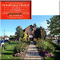
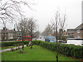
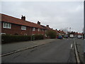
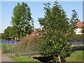
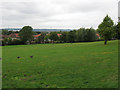
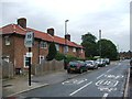
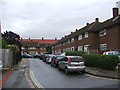
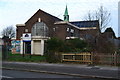
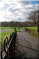
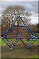
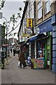
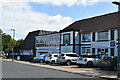
46 photos from this area
Area Information
Key information about the BR1 4QN including its size, population, and administrative classification.
- Area Type
- Postcode
- Area Size
- 7541 m²
- Population
- 1302
- Population Density
- 8538 people/km²
House Prices in BR1 4QN
34
Properties
£215,245
Average Sold Price
£54,000
Lowest Price
£408,000
Highest Price
Showing 34 properties
| Address | Type | Beds | Baths | Last Sale Price | Last Sale Date | |
|---|---|---|---|---|---|---|
| 114 Keedonwood Road, Bromley, BR1 4QN | Terraced | 3 | 1 | £408,000 | Apr 2023 | |
| 134 Keedonwood Road, Bromley, BR1 4QN | Terraced | 3 | 1 | £320,000 | Jul 2018 | |
| 84 Keedonwood Road, Bromley, BR1 4QN | Terraced | 2 | 1 | £330,000 | Apr 2017 | |
| 116 Keedonwood Road, Bromley, BR1 4QN | house | - | - | £340,000 | May 2016 | |
| 86 Keedonwood Road, Bromley, BR1 4QN | house | 2 | - | £297,555 | Oct 2015 | |
| 78 Keedonwood Road, Bromley, BR1 4QN | house | - | - | £280,000 | Jul 2015 | |
| 128 Keedonwood Road, Bromley, BR1 4QN | Terraced | 2 | 1 | £250,000 | Jan 2015 | |
| 96 Keedonwood Road, Bromley, BR1 4QN | house | 3 | - | £250,000 | May 2014 | |
| 92 Keedonwood Road, Bromley, BR1 4QN | house | - | - | £164,900 | Feb 2010 | |
| 80 Keedonwood Road, Bromley, BR1 4QN | house | - | - | £190,000 | Sep 2009 |
Page 1 of 4
Energy Efficiency in BR1 4QN
Amenities
Schools
| Rank | School | Type | Entry gender | Ages |
|---|
Explore more schools in this area
Go to Schools tabDemographics
Household Size
Family (3-5 people)
most common
Accommodation Type
Houses
most common
Tenure
39
majority
Ethnic Group
White
most common
Religion
N/A
most common
Household Composition
N/A
most common
Age
47
median
Adults (30-64 years)
most common
Household Deprivation
N/A
with no deprivation
NS-SEC
25
in Lower managerial occupations
Explore more demographic insights in this area
Go to Demographics tabPlanning
Planning Constraints
- Flood RiskPremium
- Ramsar Wetland SitesPremium
- Area of Outstanding Natural BeautyPremium
- Protected Nature ReservePremium
- Protected WoodlandPremium