Area Overview for BR1 4LQ
Photos of BR1 4LQ
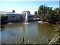
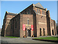
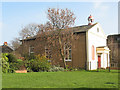
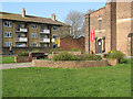
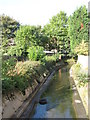
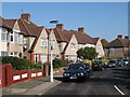
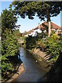
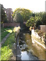
100 photos from this area
Area Information
Key information about the BR1 4LQ including its size, population, and administrative classification.
- Area Type
- Postcode
- Area Size
- 4.5 hectares
- Population
- Not available
- Population Density
- Not available
House Prices in BR1 4LQ
37
Properties
£306,221
Average Sold Price
£71,000
Lowest Price
£595,000
Highest Price
Showing 37 properties
| Address | Type | Beds | Baths | Last Sale Price | Last Sale Date | |
|---|---|---|---|---|---|---|
| 72 Brangbourne Road, Bromley, BR1 4LQ | Terraced | 3 | 1 | £540,000 | Aug 2024 | |
| 108 Brangbourne Road, Bromley, BR1 4LQ | Terraced | 3 | 1 | £545,560 | Jun 2024 | |
| 98 Brangbourne Road, Bromley, BR1 4LQ | Terraced | 4 | 2 | £595,000 | Apr 2023 | |
| 74 Brangbourne Road, Bromley, BR1 4LQ | Retail | 3 | 1 | £580,000 | Nov 2022 | |
| 78 Brangbourne Road, Bromley, BR1 4LQ | house | 3 | - | £515,000 | Jun 2021 | |
| 116 Brangbourne Road, Bromley, BR1 4LQ | house | 3 | - | £555,000 | Sep 2020 | |
| 128 Brangbourne Road, Bromley, BR1 4LQ | Terraced | 3 | 1 | £480,000 | Nov 2018 | |
| 134 Brangbourne Road, Bromley, BR1 4LQ | Terraced | 3 | - | £385,000 | Mar 2015 | |
| 132 Brangbourne Road, Bromley, BR1 4LQ | Terraced | 3 | 1 | £350,000 | Aug 2014 | |
| 122 Brangbourne Road, Bromley, BR1 4LQ | Terraced | 3 | - | £288,000 | Dec 2013 |
Page 1 of 4
Energy Efficiency in BR1 4LQ
Amenities
Schools
| Rank | School | Type | Entry gender | Ages |
|---|
Explore more schools in this area
Go to Schools tabDemographics
Household Size
Family (3-5 people)
most common
Accommodation Type
Houses
most common
Tenure
43
majority
Ethnic Group
White
most common
Religion
N/A
most common
Household Composition
N/A
most common
Age
47
median
Adults (30-64 years)
most common
Household Deprivation
N/A
with no deprivation
NS-SEC
24
in Lower managerial occupations
Explore more demographic insights in this area
Go to Demographics tabPlanning
Planning Constraints
- Flood RiskPremium
- Ramsar Wetland SitesPremium
- Area of Outstanding Natural BeautyPremium
- Protected Nature ReservePremium
- Protected WoodlandPremium