Area Overview for BR1 4HN
Photos of BR1 4HN
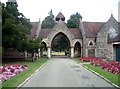
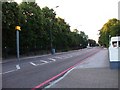
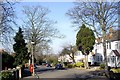
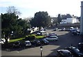
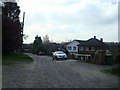
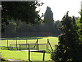
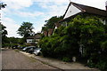
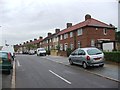
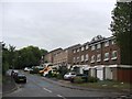
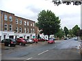
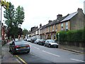
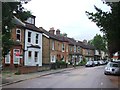
78 photos from this area
Area Information
Key information about the BR1 4HN including its size, population, and administrative classification.
- Area Type
- Postcode
- Area Size
- 2.0 hectares
- Population
- 1450
- Population Density
- 3869 people/km²
House Prices in BR1 4HN
36
Properties
£535,674
Average Sold Price
£116,000
Lowest Price
£975,000
Highest Price
Showing 36 properties
| Address | Type | Beds | Baths | Last Sale Price | Last Sale Date | |
|---|---|---|---|---|---|---|
| 19A Kings Avenue, Bromley, BR1 4HN | Terraced | 3 | 1 | £530,000 | Aug 2025 | |
| 19 Kings Avenue, Bromley, BR1 4HN | house | - | - | £550,000 | Dec 2021 | |
| 21A Kings Avenue, Bromley, BR1 4HN | house | - | - | £530,000 | May 2021 | |
| 17 Kings Avenue, Bromley, BR1 4HN | Terraced | 3 | 2 | £600,000 | Apr 2021 | |
| 1 Kings Avenue, Bromley, BR1 4HN | Semi-detached | 5 | 3 | £975,000 | Nov 2018 | |
| 29 Kings Avenue, Bromley, BR1 4HN | Terraced | - | - | £335,000 | Mar 2011 | |
| 27 Kings Avenue, Bromley, BR1 4HN | Detached | - | - | £675,000 | Jul 2009 | |
| 13 Kings Avenue, Bromley, BR1 4HN | Detached | - | - | £625,000 | Oct 2007 | |
| 15 Kings Avenue, Bromley, BR1 4HN | Detached | 6 | 5 | £680,000 | Sep 2007 | |
| 15A Kings Avenue, Bromley, BR1 4HN | Detached | - | - | £605,000 | Sep 2007 |
Page 1 of 4
Energy Efficiency in BR1 4HN
Amenities
Schools
| Rank | School | Type | Entry gender | Ages |
|---|
Explore more schools in this area
Go to Schools tabDemographics
Household Size
Family (3-5 people)
most common
Accommodation Type
Houses
most common
Tenure
86
majority
Ethnic Group
White
most common
Religion
N/A
most common
Household Composition
N/A
most common
Age
47
median
Adults (30-64 years)
most common
Household Deprivation
N/A
with no deprivation
NS-SEC
49
in Lower managerial occupations
Explore more demographic insights in this area
Go to Demographics tabPlanning
Planning Constraints
- Flood RiskPremium
- Ramsar Wetland SitesPremium
- Area of Outstanding Natural BeautyPremium
- Protected Nature ReservePremium
- Protected WoodlandPremium