Area Overview for BR1 4EP
Photos of BR1 4EP
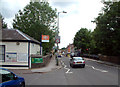
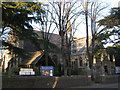
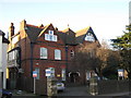
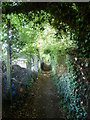
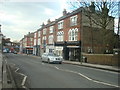
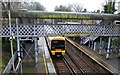
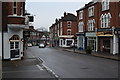
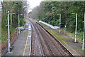
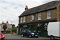
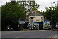
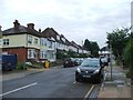
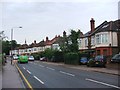
100 photos from this area
Area Information
Key information about the BR1 4EP including its size, population, and administrative classification.
- Area Type
- Postcode
- Area Size
- 2.5 hectares
- Population
- 1450
- Population Density
- 3869 people/km²
House Prices in BR1 4EP
37
Properties
£529,212
Average Sold Price
£180,000
Lowest Price
£975,000
Highest Price
Showing 37 properties
| Address | Type | Beds | Baths | Last Sale Price | Last Sale Date | |
|---|---|---|---|---|---|---|
| 26 Avondale Road, Bromley, BR1 4EP | Bungalow | - | - | £780,000 | Nov 2024 | |
| 2 Avondale Road, Bromley, BR1 4EP | Semi-detached | 1 | 1 | £740,000 | Sep 2023 | |
| 56 Avondale Road, Bromley, BR1 4EP | Semi-detached | 6 | - | £820,000 | Jun 2021 | |
| 36 Avondale Road, Bromley, BR1 4EP | Detached | 3 | 1 | £670,000 | Mar 2021 | |
| 44 Avondale Road, Bromley, BR1 4EP | Semi-detached | 5 | 2 | £750,000 | Dec 2019 | |
| 12 Avondale Road, Bromley, BR1 4EP | house | - | - | £500,000 | Feb 2017 | |
| 22 Avondale Road, Bromley, BR1 4EP | Semi-detached | 4 | 2 | £902,500 | Jan 2017 | |
| 6A Avondale Road, Bromley, BR1 4EP | Flat | - | - | £335,000 | Jul 2016 | |
| 60 Avondale Road, Bromley, BR1 4EP | Semi-detached | 5 | 3 | £705,000 | Apr 2016 | |
| 48 Avondale Road, Bromley, BR1 4EP | Detached | 6 | 4 | £553,500 | Feb 2015 |
Page 1 of 4
Energy Efficiency in BR1 4EP
Amenities
Schools
| Rank | School | Type | Entry gender | Ages |
|---|
Explore more schools in this area
Go to Schools tabDemographics
Household Size
Family (3-5 people)
most common
Accommodation Type
Houses
most common
Tenure
86
majority
Ethnic Group
White
most common
Religion
N/A
most common
Household Composition
N/A
most common
Age
47
median
Adults (30-64 years)
most common
Household Deprivation
N/A
with no deprivation
NS-SEC
49
in Lower managerial occupations
Explore more demographic insights in this area
Go to Demographics tabPlanning
Planning Constraints
- Flood RiskPremium
- Ramsar Wetland SitesPremium
- Area of Outstanding Natural BeautyPremium
- Protected Nature ReservePremium
- Protected WoodlandPremium