Area Overview for BR1 4DY
Photos of BR1 4DY
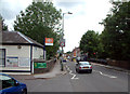
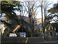
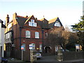
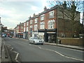
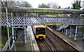
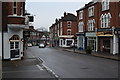
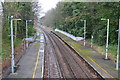
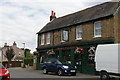
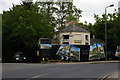
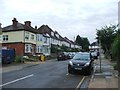
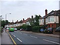
100 photos from this area
Area Information
Key information about the BR1 4DY including its size, population, and administrative classification.
- Area Type
- Postcode
- Area Size
- 8190 m²
- Population
- 1611
- Population Density
- 2713 people/km²
House Prices in BR1 4DY
22
Properties
£585,737
Average Sold Price
£305,000
Lowest Price
£1,195,000
Highest Price
Showing 22 properties
| Address | Type | Beds | Baths | Last Sale Price | Last Sale Date | |
|---|---|---|---|---|---|---|
| 21 Minster Road, Bromley, BR1 4DY | Semi-detached | 3 | 1 | £475,000 | Aug 2025 | |
| 9 Minster Road, Bromley, BR1 4DY | Detached | 5 | 3 | £1,195,000 | Jul 2023 | |
| 35 Minster Road, Bromley, BR1 4DY | Bungalow | 2 | - | £575,000 | May 2022 | |
| 27 Minster Road, Bromley, BR1 4DY | Detached | 4 | 2 | £920,000 | Jul 2019 | |
| 13 Minster Road, Bromley, BR1 4DY | Semi-detached | 5 | 2 | £927,800 | Apr 2019 | |
| 3 Minster Road, Bromley, BR1 4DY | Semi-detached | 5 | 2 | £780,000 | Jul 2017 | |
| 1 Minster Road, Bromley, BR1 4DY | house | 1 | - | £622,500 | Jul 2015 | |
| 19 Minster Road, Bromley, BR1 4DY | Semi-detached | 1 | 1 | £490,000 | Jun 2015 | |
| 33 Minster Road, Bromley, BR1 4DY | house | - | - | £650,000 | May 2015 | |
| 11A Minster Road, Bromley, BR1 4DY | Flat | - | - | £326,500 | May 2015 |
Page 1 of 3
Energy Efficiency in BR1 4DY
Amenities
Schools
| Rank | School | Type | Entry gender | Ages |
|---|
Explore more schools in this area
Go to Schools tabDemographics
Household Size
One person
most common
Accommodation Type
Houses
most common
Tenure
60
majority
Ethnic Group
White
most common
Religion
N/A
most common
Household Composition
N/A
most common
Age
47
median
Adults (30-64 years)
most common
Household Deprivation
N/A
with no deprivation
NS-SEC
47
in Lower managerial occupations
Explore more demographic insights in this area
Go to Demographics tabPlanning
Planning Constraints
- Flood RiskPremium
- Ramsar Wetland SitesPremium
- Area of Outstanding Natural BeautyPremium
- Protected Nature ReservePremium
- Protected WoodlandPremium