Area Overview for BR1 4AS
Photos of BR1 4AS
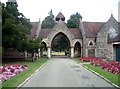
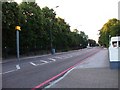
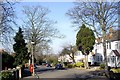
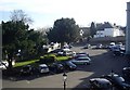
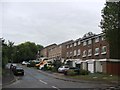
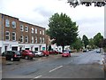
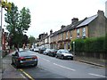
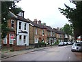
78 photos from this area
Area Information
Key information about the BR1 4AS including its size, population, and administrative classification.
- Area Type
- Postcode
- Area Size
- 2.6 hectares
- Population
- 1674
- Population Density
- 5119 people/km²
House Prices in BR1 4AS
36
Properties
£470,953
Average Sold Price
£132,000
Lowest Price
£875,000
Highest Price
Showing 36 properties
| Address | Type | Beds | Baths | Last Sale Price | Last Sale Date | |
|---|---|---|---|---|---|---|
| 110 Madeira Avenue, Bromley, BR1 4AS | Detached | 3 | 1 | £650,000 | Oct 2024 | |
| 118 Madeira Avenue, Bromley, BR1 4AS | Terraced | 3 | 1 | £400,500 | Oct 2023 | |
| 120 Madeira Avenue, Bromley, BR1 4AS | Semi-detached | 4 | 2 | £628,500 | Jul 2022 | |
| 76 Madeira Avenue, Bromley, BR1 4AS | Detached | 3 | 2 | £875,000 | Mar 2021 | |
| 90 Madeira Avenue, Bromley, BR1 4AS | Semi-detached | 4 | 1 | £647,500 | Nov 2019 | |
| 114 Madeira Avenue, Bromley, BR1 4AS | house | 3 | - | £480,960 | Aug 2019 | |
| 112 Madeira Avenue, Bromley, BR1 4AS | house | - | - | £575,000 | Feb 2018 | |
| 150 Madeira Avenue, Bromley, BR1 4AS | Detached | 4 | 1 | £630,000 | Jan 2018 | |
| 74 Madeira Avenue, Bromley, BR1 4AS | Detached | 1 | 3 | £859,950 | Jul 2017 | |
| 152 Madeira Avenue, Bromley, BR1 4AS | house | - | - | £632,500 | Jul 2016 |
Page 1 of 4
Energy Efficiency in BR1 4AS
Amenities
Schools
| Rank | School | Type | Entry gender | Ages |
|---|
Explore more schools in this area
Go to Schools tabDemographics
Household Size
Family (3-5 people)
most common
Accommodation Type
Houses
most common
Tenure
74
majority
Ethnic Group
White
most common
Religion
N/A
most common
Household Composition
N/A
most common
Age
47
median
Adults (30-64 years)
most common
Household Deprivation
N/A
with no deprivation
NS-SEC
49
in Lower managerial occupations
Explore more demographic insights in this area
Go to Demographics tabPlanning
Planning Constraints
- Flood RiskPremium
- Ramsar Wetland SitesPremium
- Area of Outstanding Natural BeautyPremium
- Protected Nature ReservePremium
- Protected WoodlandPremium