Area Overview for BR1 3QD
Photos of BR1 3QD
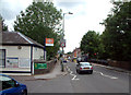
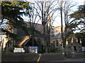
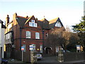
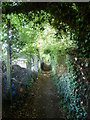
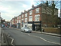
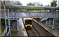
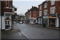
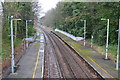
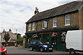
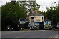
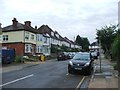
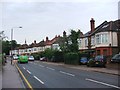
100 photos from this area
Area Information
Key information about the BR1 3QD including its size, population, and administrative classification.
- Area Type
- Postcode
- Area Size
- 6586 m²
- Population
- 1402
- Population Density
- 8492 people/km²
House Prices in BR1 3QD
66
Properties
£308,956
Average Sold Price
£70,500
Lowest Price
£545,000
Highest Price
Showing 66 properties
| Address | Type | Beds | Baths | Last Sale Price | Last Sale Date | |
|---|---|---|---|---|---|---|
| 3 Scotts Road, Bromley, BR1 3QD | Terraced | 3 | 1 | £545,000 | Mar 2025 | |
| 11 Scotts Road, Bromley, BR1 3QD | house | 2 | 1 | £472,500 | Nov 2022 | |
| 6 Scotts Road, Bromley, BR1 3QD | house | - | - | £275,000 | May 2021 | |
| 18 Scotts Road, Bromley, BR1 3QD | Terraced | 3 | 1 | £530,000 | Mar 2021 | |
| 19A Scotts Road, Bromley, BR1 3QD | Flat | 2 | 1 | £382,500 | Aug 2019 | |
| 19 Scotts Road, Bromley, BR1 3QD | Flat | - | - | £285,000 | Apr 2019 | |
| 22 Scotts Road, Bromley, BR1 3QD | Flat | 1 | 1 | £417,000 | Jun 2017 | |
| 38 Scotts Road, Bromley, BR1 3QD | Flat | 2 | 1 | £392,500 | Jun 2017 | |
| 40 Scotts Road, Bromley, BR1 3QD | Flat | - | - | £395,000 | May 2017 | |
| 15 Scotts Road, Bromley, BR1 3QD | Terraced | 3 | - | £295,000 | Nov 2013 |
Page 1 of 7
Energy Efficiency in BR1 3QD
Amenities
Schools
| Rank | School | Type | Entry gender | Ages |
|---|
Explore more schools in this area
Go to Schools tabDemographics
Household Size
Family (3-5 people)
most common
Accommodation Type
Houses
most common
Tenure
60
majority
Ethnic Group
White
most common
Religion
N/A
most common
Household Composition
N/A
most common
Age
47
median
Adults (30-64 years)
most common
Household Deprivation
N/A
with no deprivation
NS-SEC
48
in Lower managerial occupations
Explore more demographic insights in this area
Go to Demographics tabPlanning
Planning Constraints
- Flood RiskPremium
- Ramsar Wetland SitesPremium
- Area of Outstanding Natural BeautyPremium
- Protected Nature ReservePremium
- Protected WoodlandPremium