Area Overview for BR1 3DP
Photos of BR1 3DP
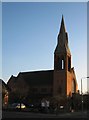
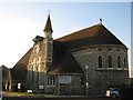
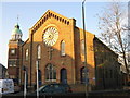
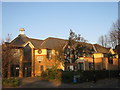
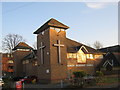
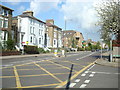
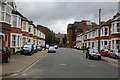
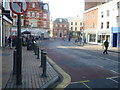
100 photos from this area
Area Information
Key information about the BR1 3DP including its size, population, and administrative classification.
- Area Type
- Postcode
- Area Size
- 1.5 hectares
- Population
- Not available
- Population Density
- Not available
House Prices in BR1 3DP
19
Properties
£610,723
Average Sold Price
£345,000
Lowest Price
£1,020,000
Highest Price
Showing 19 properties
| Address | Type | Beds | Baths | Last Sale Price | Last Sale Date | |
|---|---|---|---|---|---|---|
| 24 South View, Bromley, BR1 3DP | Semi-detached | 4 | 1 | £1,020,000 | Aug 2024 | |
| 22 South View, Bromley, BR1 3DP | house | - | - | £950,000 | Oct 2021 | |
| 32 South View, Bromley, BR1 3DP | house | - | - | £892,500 | Jun 2021 | |
| 20 South View, Bromley, BR1 3DP | Semi-detached | 4 | 2 | £765,000 | Aug 2014 | |
| 28 South View, Bromley, BR1 3DP | house | - | - | £420,000 | May 2014 | |
| 38 South View, Bromley, BR1 3DP | house | - | - | £499,950 | Sep 2010 | |
| 30 South View, Bromley, BR1 3DP | Semi-detached | - | - | £467,500 | Oct 2008 | |
| 36 South View, Bromley, BR1 3DP | Semi-detached | - | - | £530,000 | Aug 2007 | |
| 26 South View, Bromley, BR1 3DP | Semi-detached | - | - | £430,000 | May 2004 | |
| 12 South View, Bromley, BR1 3DP | Semi-detached | - | - | £345,000 | Mar 2002 |
Page 1 of 2
Energy Efficiency in BR1 3DP
Amenities
Schools
| Rank | School | Type | Entry gender | Ages |
|---|
Explore more schools in this area
Go to Schools tabDemographics
Household Size
Family (3-5 people)
most common
Accommodation Type
Houses
most common
Tenure
69
majority
Ethnic Group
White
most common
Religion
N/A
most common
Household Composition
N/A
most common
Age
47
median
Adults (30-64 years)
most common
Household Deprivation
N/A
with no deprivation
NS-SEC
49
in Lower managerial occupations
Explore more demographic insights in this area
Go to Demographics tabPlanning
Planning Constraints
- Flood RiskPremium
- Ramsar Wetland SitesPremium
- Area of Outstanding Natural BeautyPremium
- Protected Nature ReservePremium
- Protected WoodlandPremium