Area Overview for BR1 3DG
Photos of BR1 3DG
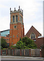
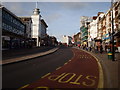
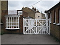
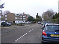
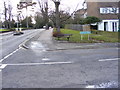
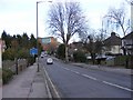
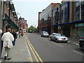
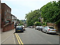
100 photos from this area
Area Information
Key information about the BR1 3DG including its size, population, and administrative classification.
- Area Type
- Postcode
- Area Size
- 1.3 hectares
- Population
- 1850
- Population Density
- 6183 people/km²
House Prices in BR1 3DG
25
Properties
£341,508
Average Sold Price
£100,500
Lowest Price
£760,000
Highest Price
Showing 25 properties
| Address | Type | Beds | Baths | Last Sale Price | Last Sale Date | |
|---|---|---|---|---|---|---|
| 45 Murray Avenue, Bromley, BR1 3DG | house | - | - | £760,000 | Sep 2020 | |
| 9 Murray Avenue, Bromley, BR1 3DG | Terraced | 3 | 1 | £625,000 | Nov 2019 | |
| 49 Murray Avenue, Bromley, BR1 3DG | Terraced | 4 | 2 | £604,000 | Jan 2015 | |
| 11 Murray Avenue, Bromley, BR1 3DG | Terraced | 4 | 2 | £425,000 | Jul 2010 | |
| 31 Murray Avenue, Bromley, BR1 3DG | Terraced | - | - | £435,000 | Jul 2010 | |
| 37 Murray Avenue, Bromley, BR1 3DG | Terraced | - | - | £295,000 | Oct 2004 | |
| 13 Murray Avenue, Bromley, BR1 3DG | Terraced | - | - | £247,000 | Sep 2003 | |
| 41 Murray Avenue, Bromley, BR1 3DG | Terraced | - | - | £278,000 | Jan 2003 | |
| 3 Murray Avenue, Bromley, BR1 3DG | Terraced | - | - | £214,000 | Apr 2000 | |
| 27 Murray Avenue, Bromley, BR1 3DG | Terraced | - | - | £178,100 | Sep 1999 |
Page 1 of 3
Energy Efficiency in BR1 3DG
Amenities
Schools
| Rank | School | Type | Entry gender | Ages |
|---|
Explore more schools in this area
Go to Schools tabDemographics
Household Size
Family (3-5 people)
most common
Accommodation Type
Houses
most common
Tenure
74
majority
Ethnic Group
White
most common
Religion
N/A
most common
Household Composition
N/A
most common
Age
47
median
Adults (30-64 years)
most common
Household Deprivation
N/A
with no deprivation
NS-SEC
51
in Lower managerial occupations
Explore more demographic insights in this area
Go to Demographics tabPlanning
Planning Constraints
- Flood RiskPremium
- Ramsar Wetland SitesPremium
- Area of Outstanding Natural BeautyPremium
- Protected Nature ReservePremium
- Protected WoodlandPremium