Area Overview for BR1 3BD
Photos of BR1 3BD
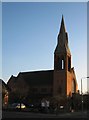
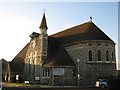
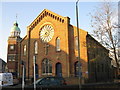
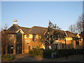
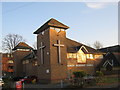
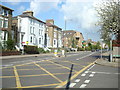
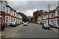
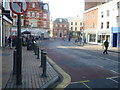
100 photos from this area
Area Information
Key information about the BR1 3BD including its size, population, and administrative classification.
- Area Type
- Postcode
- Area Size
- 1.9 hectares
- Population
- Not available
- Population Density
- Not available
House Prices in BR1 3BD
25
Properties
£704,425
Average Sold Price
£159,950
Lowest Price
£1,280,000
Highest Price
Showing 25 properties
| Address | Type | Beds | Baths | Last Sale Price | Last Sale Date | |
|---|---|---|---|---|---|---|
| 70 Widmore Road, Bromley, BR1 3BD | Detached | 5 | 3 | £1,280,000 | May 2022 | |
| 66 Widmore Road, Bromley, BR1 3BD | Detached | 4 | 2 | £955,000 | Jul 2020 | |
| 68 Widmore Road, Bromley, BR1 3BD | Detached | 5 | 2 | £1,100,000 | Jan 2020 | |
| 76 Widmore Road, Bromley, BR1 3BD | house | - | - | £895,000 | Mar 2018 | |
| 72 Widmore Road, Bromley, BR1 3BD | Detached | 4 | 1 | £850,000 | Mar 2016 | |
| 64 Widmore Road, Bromley, BR1 3BD | house | 4 | - | £830,000 | Aug 2015 | |
| 78 Widmore Road, Bromley, BR1 3BD | Detached | 4 | 1 | £640,000 | Feb 2014 | |
| The Old Surgery, 86 Widmore Road, Bromley, BR1 3BD | Detached | 4 | - | £640,000 | Aug 2010 | |
| 74 Widmore Road, Bromley, BR1 3BD | house | - | - | £440,000 | Jan 2010 | |
| 80 Widmore Road, Bromley, BR1 3BD | house | 4 | 3 | £545,000 | Oct 2009 |
Page 1 of 3
Energy Efficiency in BR1 3BD
Amenities
Schools
| Rank | School | Type | Entry gender | Ages |
|---|
Explore more schools in this area
Go to Schools tabDemographics
Household Size
Family (3-5 people)
most common
Accommodation Type
Houses
most common
Tenure
69
majority
Ethnic Group
White
most common
Religion
N/A
most common
Household Composition
N/A
most common
Age
47
median
Adults (30-64 years)
most common
Household Deprivation
N/A
with no deprivation
NS-SEC
49
in Lower managerial occupations
Explore more demographic insights in this area
Go to Demographics tabPlanning
Planning Constraints
- Flood RiskPremium
- Ramsar Wetland SitesPremium
- Area of Outstanding Natural BeautyPremium
- Protected Nature ReservePremium
- Protected WoodlandPremium