Area Overview for BR1 2QL
Photos of BR1 2QL
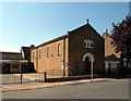
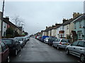
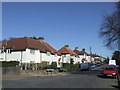
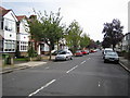
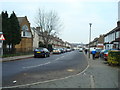
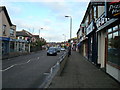
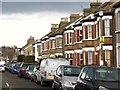
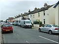
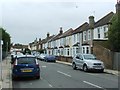
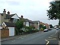
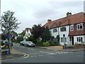
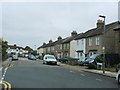
68 photos from this area
Area Information
Key information about the BR1 2QL including its size, population, and administrative classification.
- Area Type
- Postcode
- Area Size
- 8857 m²
- Population
- 1888
- Population Density
- 4982 people/km²
House Prices in BR1 2QL
24
Properties
£243,363
Average Sold Price
£136,000
Lowest Price
£435,000
Highest Price
Showing 24 properties
| Address | Type | Beds | Baths | Last Sale Price | Last Sale Date | |
|---|---|---|---|---|---|---|
| 177 Homesdale Road, Bromley, BR1 2QL | house | - | - | £435,000 | Apr 2021 | |
| 167A Homesdale Road, Bromley, BR1 2QL | Flat | - | - | £136,000 | Mar 2021 | |
| 163 Homesdale Road, Bromley, BR1 2QL | house | 3 | 1 | £428,000 | Jul 2018 | |
| 209 Homesdale Road, Bromley, BR1 2QL | Terraced | 2 | 1 | £330,000 | Oct 2014 | |
| 207 Homesdale Road, Bromley, BR1 2QL | Terraced | 3 | 1 | £295,000 | Feb 2014 | |
| 157 Homesdale Road, Bromley, BR1 2QL | house | - | - | £238,000 | Sep 2013 | |
| 165B Homesdale Road, Bromley, BR1 2QL | Flat | 1 | 1 | £225,000 | Aug 2013 | |
| 153 Homesdale Road, Bromley, BR1 2QL | Terraced | 3 | 1 | £224,995 | Jun 2007 | |
| 205 Homesdale Road, Bromley, BR1 2QL | Terraced | - | - | £249,950 | Apr 2007 | |
| 161 Homesdale Road, Bromley, BR1 2QL | house | - | - | £200,000 | Mar 2006 |
Page 1 of 3
Energy Efficiency in BR1 2QL
Amenities
Schools
| Rank | School | Type | Entry gender | Ages |
|---|
Explore more schools in this area
Go to Schools tabDemographics
Household Size
Family (3-5 people)
most common
Accommodation Type
Houses
most common
Tenure
79
majority
Ethnic Group
White
most common
Religion
N/A
most common
Household Composition
N/A
most common
Age
47
median
Adults (30-64 years)
most common
Household Deprivation
N/A
with no deprivation
NS-SEC
50
in Lower managerial occupations
Explore more demographic insights in this area
Go to Demographics tabPlanning
Planning Constraints
- Flood RiskPremium
- Ramsar Wetland SitesPremium
- Area of Outstanding Natural BeautyPremium
- Protected Nature ReservePremium
- Protected WoodlandPremium