Area Overview for BR1 2EY
Photos of BR1 2EY
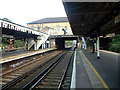
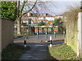
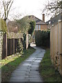
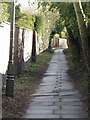
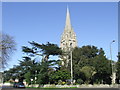
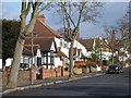
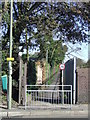
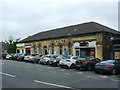
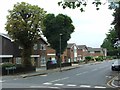
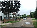
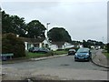
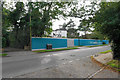
87 photos from this area
Area Information
Key information about the BR1 2EY including its size, population, and administrative classification.
- Area Type
- Postcode
- Area Size
- 9096 m²
- Population
- 1711
- Population Density
- 2963 people/km²
House Prices in BR1 2EY
16
Properties
£568,458
Average Sold Price
£219,000
Lowest Price
£980,000
Highest Price
Showing 16 properties
| Address | Type | Beds | Baths | Last Sale Price | Last Sale Date | |
|---|---|---|---|---|---|---|
| 17 Burford Road, Bickley, Bromley, BR1 2EY | Bungalow | 2 | 1 | £670,000 | Mar 2024 | |
| 1A Burford Road, Bickley, Bromley, BR1 2EY | Detached | 1 | 2 | £980,000 | Sep 2022 | |
| 5 Burford Road, Bickley, Bromley, BR1 2EY | house | - | - | £650,000 | Jun 2022 | |
| 13 Burford Road, Bickley, Bromley, BR1 2EY | Bungalow | 3 | 1 | £640,000 | Mar 2021 | |
| 7 Burford Road, Bickley, Bromley, BR1 2EY | Semi-detached | 4 | 1 | £600,000 | Oct 2020 | |
| 29 Burford Road, Bickley, Bromley, BR1 2EY | Bungalow | 4 | 2 | £715,000 | Mar 2019 | |
| 11 Burford Road, Bickley, Bromley, BR1 2EY | house | - | - | £635,000 | Jan 2018 | |
| 19 Burford Road, Bickley, Bromley, BR1 2EY | Bungalow | 4 | - | £550,000 | Jul 2015 | |
| 9 Burford Road, Bickley, Bromley, BR1 2EY | house | - | - | £430,000 | Feb 2013 | |
| 21 Burford Road, Bickley, Bromley, BR1 2EY | house | - | - | £427,500 | Apr 2012 |
Page 1 of 2
Energy Efficiency in BR1 2EY
Amenities
Schools
| Rank | School | Type | Entry gender | Ages |
|---|
Explore more schools in this area
Go to Schools tabDemographics
Household Size
Family (3-5 people)
most common
Accommodation Type
Houses
most common
Tenure
89
majority
Ethnic Group
White
most common
Religion
N/A
most common
Household Composition
N/A
most common
Age
47
median
Adults (30-64 years)
most common
Household Deprivation
N/A
with no deprivation
NS-SEC
51
in Lower managerial occupations
Explore more demographic insights in this area
Go to Demographics tabPlanning
Planning Constraints
- Flood RiskPremium
- Ramsar Wetland SitesPremium
- Area of Outstanding Natural BeautyPremium
- Protected Nature ReservePremium
- Protected WoodlandPremium