Area Overview for BR1 2DH
Photos of BR1 2DH
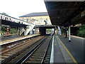
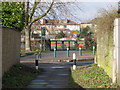
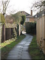
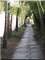
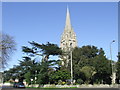
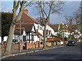
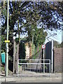
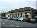
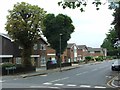
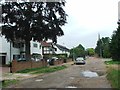
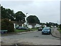
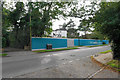
87 photos from this area
Area Information
Key information about the BR1 2DH including its size, population, and administrative classification.
- Area Type
- Postcode
- Area Size
- 2864 m²
- Population
- Not available
- Population Density
- Not available
House Prices in BR1 2DH
12
Properties
£378,855
Average Sold Price
£88,500
Lowest Price
£665,000
Highest Price
Showing 12 properties
| Address | Type | Beds | Baths | Last Sale Price | Last Sale Date | |
|---|---|---|---|---|---|---|
| 18 Clarence Road, Bickley, Bromley, BR1 2DH | Semi-detached | 4 | 1 | £665,000 | Oct 2023 | |
| 12 Clarence Road, Bickley, Bromley, BR1 2DH | house | - | - | £645,000 | Jun 2021 | |
| 24 Clarence Road, Bickley, Bromley, BR1 2DH | Detached | 3 | 1 | £520,000 | Sep 2015 | |
| 14 Clarence Road, Bickley, Bromley, BR1 2DH | Semi-detached | 5 | 2 | £426,000 | Oct 2013 | |
| 6 Clarence Road, Bickley, Bromley, BR1 2DH | Terraced | 2 | - | £310,000 | Apr 2013 | |
| 20 Clarence Road, Bickley, Bromley, BR1 2DH | Semi-detached | 4 | - | £379,950 | Jul 2012 | |
| 22 Clarence Road, Bickley, Bromley, BR1 2DH | Semi-detached | - | - | £326,000 | Dec 2006 | |
| 16 Clarence Road, Bickley, Bromley, BR1 2DH | Semi-detached | - | - | £328,000 | Aug 2006 | |
| 8 Clarence Road, Bickley, Bromley, BR1 2DH | house | 2 | - | £249,950 | Apr 2005 | |
| 2 Clarence Road, Bickley, Bromley, BR1 2DH | house | - | - | £229,000 | Nov 2003 |
Page 1 of 2
Energy Efficiency in BR1 2DH
Amenities
Schools
| Rank | School | Type | Entry gender | Ages |
|---|
Explore more schools in this area
Go to Schools tabDemographics
Household Size
Family (3-5 people)
most common
Accommodation Type
Houses
most common
Tenure
73
majority
Ethnic Group
White
most common
Religion
N/A
most common
Household Composition
N/A
most common
Age
47
median
Adults (30-64 years)
most common
Household Deprivation
N/A
with no deprivation
NS-SEC
48
in Lower managerial occupations
Explore more demographic insights in this area
Go to Demographics tabPlanning
Planning Constraints
- Flood RiskPremium
- Ramsar Wetland SitesPremium
- Area of Outstanding Natural BeautyPremium
- Protected Nature ReservePremium
- Protected WoodlandPremium