Area Overview for BR1 1UF
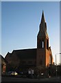
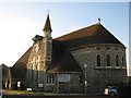
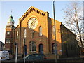
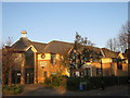
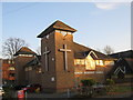
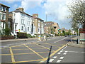
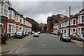
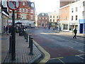
Photos of BR1 1UF
Area Information
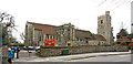
BR1 1UF is a small residential cluster within the London Borough of Bromley, a historic town that evolved from a rural village into a suburban commuter hub. With a population of 1,902, the area reflects Bromley’s 20th-century expansion, offering a quiet, community-oriented lifestyle. Situated in the BR1 postcode area, it benefits from proximity to Bromley’s historic core, including its medieval market and civic buildings. The area’s compact size means residents can access key amenities within walking or cycling distance. Bromley’s origins as a market town, granted a royal charter in 1205, still influence its character today, with a blend of traditional and modern infrastructure. The area is served by multiple rail and tram stops, linking it to London’s transport network. For those seeking a balance between suburban tranquillity and urban connectivity, BR1 1UF provides a distinct option, with a population profile skewed toward adults aged 30–64, suggesting a stable, established community.
- Area Type
- Postcode
- Area Size
- Not available
- Population
- 1902
- Population Density
- 4984 people/km²
BR1 1UF is predominantly a home-ownership area, with 60% of properties owned by residents. The accommodation type is houses, which is typical for suburban settings and may appeal to families seeking more space than apartments. This suggests a market skewed toward owner-occupied properties rather than rentals, though the exact proportion of rental properties is not specified. The area’s small size means the housing stock is limited, and buyers should consider nearby areas for broader options. The presence of houses indicates a focus on private, family-friendly living, potentially attracting those prioritising space and stability. However, the lack of data on property prices or recent developments means the market’s current dynamics remain unclear for prospective buyers.
House Prices in BR1 1UF
No properties found in this postcode.
Energy Efficiency in BR1 1UF
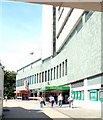
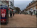
BR1 1UF offers a range of amenities within practical reach, enhancing daily life. Retail options include major supermarkets like Lidl Bromley, M&S Bromley, and Sainsburys Bromley, providing convenience for shopping. Transport links are extensive, with five rail stations and three tram stops, facilitating easy access to London and surrounding areas. The area is near two airports, Biggin Hill and London Biggin Hill, though these are likely for general travel rather than frequent use. For leisure, the nearby Bromley market, operating since medieval times, offers a historic shopping experience. The absence of detailed data on parks or recreational facilities means their availability is unclear, but the area’s proximity to Bromley’s historic core suggests cultural and community events may be accessible. The mix of retail, transport, and historical sites contributes to a balanced lifestyle, blending practicality with local heritage.
Amenities
Schools
The nearest school to BR1 1UF is Valley Primary School, a primary school with an Ofsted rating of “good.” This rating suggests the school provides a satisfactory standard of education, though no secondary schools are listed in the data. The absence of secondary school information means families requiring comprehensive schooling may need to look beyond the immediate area. For primary education, Valley Primary School offers a local option, reducing the need for long commutes. The school’s rating indicates it meets acceptable standards, but parents should verify current performance and availability of places. The focus on a single primary school highlights the need for additional educational options in the wider Bromley area.
| Rank | School | Type | Entry gender | Ages |
|---|---|---|---|---|
| 1 | Valley Primary School | primary | N/A | N/A |
| 2 | Valley Primary School | primary | N/A | N/A |
Explore more schools in this area
Go to Schools tabDemographics
The population of BR1 1UF is 1,902, with a median age of 47, indicating a mature demographic. The most common age range is adults aged 30–64, reflecting a community of middle-aged and older residents. Home ownership stands at 60%, suggesting a mix of long-term residents and owner-occupied properties. The predominant accommodation type is houses, which aligns with the area’s residential character. The predominant ethnic group is White, though no specific diversity statistics are provided. This age profile and home ownership rate imply a relatively stable, low-turnover community. The absence of data on deprivation or income levels means the area’s socioeconomic challenges cannot be assessed, but the high home ownership and mature age group suggest a focus on long-term residency over transient rental markets.
Household Size
Accommodation Type
Tenure
Ethnic Group
Religion
Household Composition
Age
Household Deprivation
NS-SEC
Explore more demographic insights in this area
Go to Demographics tabPlanning
Planning Constraints
- Flood RiskPremium
- Ramsar Wetland SitesPremium
- Area of Outstanding Natural BeautyPremium
- Protected Nature ReservePremium
- Protected WoodlandPremium
- Crime RiskPremium