Area Overview for BR1 1LJ
Photos of BR1 1LJ
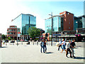
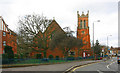
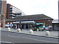
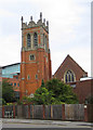
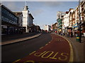
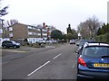
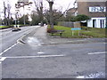
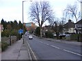
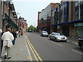
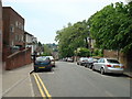
Area Information
Living in BR1 1LJ places you within a specific residential cluster serving a small population of 1,252 people. This postcode area sits squarely within the Bromley Town Ward of the London Borough of Bromley, located at coordinates 51.408226, 0.017578. Historically, Bromley evolved from a rural village with its first charter in 862 CE into a significant suburban town following the arrival of the railway in 1858. The area carries the legacy of former Prime Minister Harold Macmillan and retains historic landmarks like Bromley Palace, which now houses the civic centre and town hall on Tweedy Road. Daily life here revolves around established community hubs, including the medieval market that has operated since the 13th century after receiving a royal charter in 1205. You are positioned in an locality that balances historical depth with modern suburban convenience. The character of the ward reflects centuries of development, moving from an agrarian past influenced by bishops of Rochester to a commuter-focused urban district. This area offers a settled environment where residents benefit from proximity to both Greater London and Kent's heritage.
- Area Type
- Postcode
- Area Size
- Not available
- Population
- Not available
- Population Density
- Not available
The property market in BR1 1LJ is defined by a distinct architectural style and tenure split. Flats constitute the predominant accommodation type within the 1,252 residents living at this address. This housing stock typically appeals to professionals or downsizers rather than large families seeking garden space. Only 35% of the population owns their homes, meaning the majority of residents are tenants. Consequently, you are entering a market where private purchase might offer more options in neighbouring postcodes outside this specific small cluster, though flats remain the standard here. The prevalence of multi-unit dwellings contrasts with detached homes found in outlying suburbs. This configuration means security and communal areas are key considerations for buyers. The area does not feature the sprawling estate layouts of outer London, but rather the compact urban living of Bromley Town. Prospective homeowners should evaluate whether this density matches their lifestyle needs, as the built environment favors density over single-family sprawl.
House Prices in BR1 1LJ
No properties found in this postcode.
Energy Efficiency in BR1 1LJ
Living in BR1 1LJ grants you immediate access to a dense network of transport and retail amenities. Five train stations are within practical reach, including Bromley South Station, Bromley North Station, and Shortlands Station, facilitating easy travel into Central London. The area also benefits from five tram stops, such as Beckenham Road Tram Stop and Avenue Road Tram Stop, offering additional connectivity options. Retail convenience is exceptional, with five major supermarkets nearby, including Tesco Bromley, Sainsburys Bromley, and Waitrose Bromley. Five metro stops and two airports, Biggin Hill Airport and London Biggin Hill Airport, provide further travel flexibility. Even ferry access is available via Greenwich Pier. This concentration of services means you can shop, travel, and commute without needing extensive planning. The proximity to Biggin Hill Airport adds a unique travel layer to the local lifestyle.
Amenities
Schools
| Rank | School | Type | Entry gender | Ages |
|---|
Explore more schools in this area
Go to Schools tabDemographics
The community in BR1 1LJ reflects an older, established demographic profile. The median age is 47 years, with the most common age range falling between 30 and 64 years. This data indicates a population dominated by adults rather than families with young children or pensioners. Over one-third of households, representing 35% of the total, own their accommodation outright. The remaining residents likely reside as tenants, contributing to a mixed-ownership environment. Accommodation in this cluster primarily consists of flats, rather than detached or semi-detached houses, aligning with the urban density typical of a town ward. The predominant ethnic group in the area is White, suggesting a relatively homogenous community compared to other parts of Greater London. There is no data to suggest significant deprivation statistics affecting quality of life within this specific cluster, allowing the community to focus on its stable age profile and housing tenure. This demographic mix creates a neighbourhood suited for those seeking a quieter, less transient environment than typical city centre living.
Household Size
Accommodation Type
Tenure
Ethnic Group
Religion
Household Composition
Age
Household Deprivation
NS-SEC
Explore more demographic insights in this area
Go to Demographics tabPlanning
Planning Constraints
- Flood RiskPremium
- Ramsar Wetland SitesPremium
- Area of Outstanding Natural BeautyPremium
- Protected Nature ReservePremium
- Protected WoodlandPremium