Area Overview for Belsize Ward
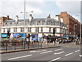
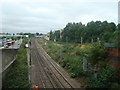
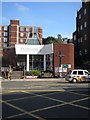
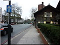
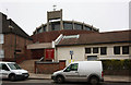
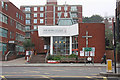
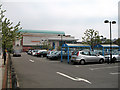
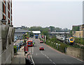
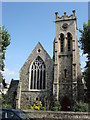
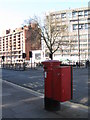
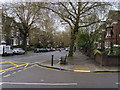
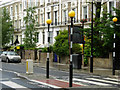
Photos of Belsize Ward
Area Information
Living in Belsize Ward means residing in a compact 1.0 km² district within the larger Hampstead area of the London Borough of Camden. You are situated in an electoral ward that traces its roots back to the historic Manor of Belsize, originally part of the Manor of Hampstead. The community houses approximately 2,937 residents, creating a tight-knit environment characteristic of inner north-west London. This ward stands as a vital subdivision of the broader residential landscape, offering a distinct identity within Belsize Park. The area's history is deeply embedded in local heritage, having been owned by Westminster Abbey monks before becoming a focus for Victorian developers like Daniel Tiley. Today, you find yourself amidst a setting that evolved from historic mansion development to semi-detached stucco houses post-1842. The Ward remains defined by its specific location near coordinates 51.548391053822485, -0.17097606661115494, ensuring a clear geographical identity for anyone considering homes in this specific patch of London. Daily life here is shaped by this dense clustering of population and the enduring legacy of Belsize House, which now stands as part of the local narrative found at Belsize Court.
- Area Type
- District Borough Unitary Ward
- Area Size
- 1.0 km²
- Population
- 2937
- Population Density
- 2931 people/km²
Demographics
The community within Belsize Ward is defined by an unusually high median age of 70 years. This demographic profile suggests the area caters primarily to older residents or retirees rather than young families. Your neighbours are likely drawn from the Age: Total category, indicating a population where life expectancy and senior living dominate the local character. House ownership stands at 40%, meaning the majority of residents do not hold freeholds of their properties. Consequently, you are more likely to encounter tenants than owners when observing the street. The ward maintains a total household composition and accommodation type classification, reflecting its status as a standard residential subdivision. Regarding diversity, the ward registers a total for predominant ethnic groups and religion, indicating a mixed population without a single dominant cultural or religious majority. This statistical breakdown confirms that Belsize Ward is not a niche community for specific age groups other than the elderly. Understanding these figures helps you anticipate the social rhythm and neighbourly dynamics before you view schools near the area or plan your move.
Household Size
Accommodation Type
Tenure
Ethnic Group
Religion
Household Composition
Age
Household Deprivation
NS-SEC
Explore more demographic insights in this area
Go to Demographics tabPlanning
Planning Constraints
- Flood RiskPremium
- Ramsar Wetland SitesPremium
- Area of Outstanding Natural BeautyPremium
- Protected Nature ReservePremium
- Protected WoodlandPremium
- Crime RiskPremium