Area Overview for Wickmere
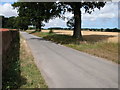
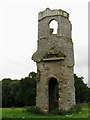
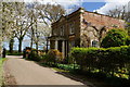
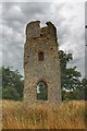
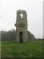
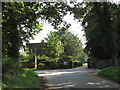
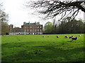
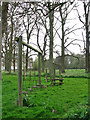
Photos of Wickmere
Area Information
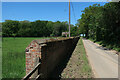
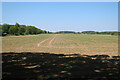
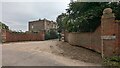
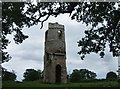
Living in Wickmere offers a distinct experience within a civil parish covering 7.1 km² of land in England. This relatively small geographical footprint defines the scale of daily life for residents who call the area home. The landscape supports a specific community dynamic where proximity to neighbours is inherent due to the limited space. Prospective buyers often appreciate the manageable size of the parish, which fosters a contained environment away from the sprawl of larger urban centres. When you consider moving to Wickmere, you are entering an area where the physical boundaries are clear and the sense of place is defined by its modest dimensions. The parish structure ensures that local governance and community planning remain focused on this specific territory. Your routine activities, from walking to local shops to attending village events, will unfold within these familiar grounds. The area does not offer the anonymity of a major city but provides a defined setting where the physical environment wraps around your lifestyle. Understanding the 7.1 km² boundary helps you visualise the Available space for recreation and the distance between key local points. This compactness means that much of your daily world is contained within a short walk or drive, creating a self-contained living arrangement that suits those who value a defined local hub.
- Area Type
- Parish
- Area Size
- 7.1 km²
- Population
- Not available
- Population Density
- Not available
Demographics
The community in Wickmere shows a clear demographic profile centred on an older population. You will find that the median age of residents is 70 years old, indicating that the area is primarily populated by seniors. This age distribution shapes the daily rhythm of the parish and influences the types of services and facilities that matter most to those living here. With 75% of adults owning their homes, the district stands as a predominantly owner-occupied locality rather than a rental market. This high level of home ownership suggests long-term settlement and stability within the neighbourhood. The household composition aligns with this demographic reality, featuring families and individuals in later life who have secured ownership of their properties. While specific data on predominant ethnic groups and religious breakdown is part of the official census records, the visible picture is one of an established, older community. The concentration of older residents often correlates with a quiet atmosphere and a slower pace of life. When you evaluate the quality of life here, the stability provided by high ownership rates and an older demographic creates a predictable environment. This profile means you are joining a cohort of people who understand the value of a permanent home within the confines of this civil parish.
Household Size
Accommodation Type
Tenure
Ethnic Group
Religion
Household Composition
Age
Household Deprivation
NS-SEC
Explore more demographic insights in this area
Go to Demographics tabPlanning
Planning Constraints
- Flood RiskPremium
- Ramsar Wetland SitesPremium
- Area of Outstanding Natural BeautyPremium
- Protected Nature ReservePremium
- Protected WoodlandPremium
- Crime RiskPremium