Area Overview for West Flegg Ward
Photos of West Flegg Ward

Area Information
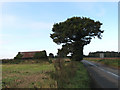
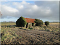
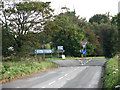
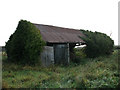
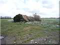
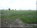
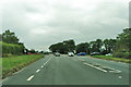
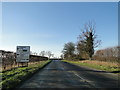
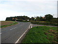
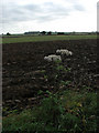
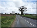
West Flegg Ward sits on the eastern border of Norfolk, contiguous with the North Sea. This electoral ward within the Great Yarmouth Borough Council area covers 31.2 square kilometres of land. Historically, the region corresponds to the West Flegg sub-district and hundred. In 1870, the area included parishes such as Hemsby, Winterton, East Somerton, and Martham. The location once had a population of 4,571 across 15,786 acres when it operated as part of the East and West Flegg district. Today, the ward functions as a distinct community with deep historical roots. Living in West Flegg Ward means residing in a region shaped by its coastal position and agricultural past. The area's layout reflects its history as part of the Norfolk Incorporations established in the late eighteenth century. You will find a setting that values its position north of Great Yarmouth. The ward comprises several parishes, each contributing to the local character. Residents enjoy proximity to the sea while remaining within the Great Yarmouth administrative boundary. The land size provides space for development while maintaining the ward's perimeter. Understanding this history helps contextualise the current living environment. The ward remains a significant unit for local governance and planning.
- Area Type
- District Borough Unitary Ward
- Area Size
- 31.2 km²
- Population
- Not available
- Population Density
- Not available
Demographics
The community in West Flegg Ward shows a distinct demographic profile. The median age for residents sits at 70 years. This figure indicates a population skewed significantly towards older age groups. Most common age ranges cluster around this high median. Home ownership stands at 80 per cent across the ward. This high rate suggests a stable, established resident base rather than a transient renting population. Household composition data points to a total data set reflecting these long-term residents. Accommodation types generally align with high ownership levels typical of retirement or semi-retirement locations. While specific ethnicity and religion figures are not detailed in the current dataset, the age and ownership stats provide a clear picture. The high home ownership rate of 80 per cent implies many families have lived in the area for decades. This stability often correlates with strong community ties. For new buyers, purchasing in West Flegg Ward likely involves joining an existing, settled community. The demographic structure means services and amenities cater to an older population. You should expect a neighbourhood where residents have deep local knowledge. The age profile of 70 years median age defines the social fabric of the ward. Everyone you meet here is likely part of this mature demographic.
Household Size
Accommodation Type
Tenure
Ethnic Group
Religion
Household Composition
Age
Household Deprivation
NS-SEC
Explore more demographic insights in this area
Go to Demographics tabPlanning
Planning Constraints
- Flood RiskPremium
- Ramsar Wetland SitesPremium
- Area of Outstanding Natural BeautyPremium
- Protected Nature ReservePremium
- Protected WoodlandPremium
- Crime RiskPremium