Area Overview for WD7 9HT
Photos of WD7 9HT
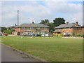
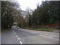
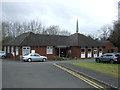
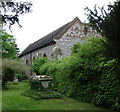
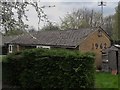
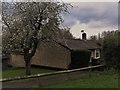
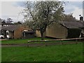
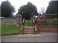
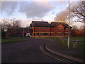
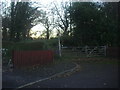
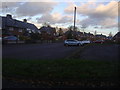
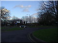
27 photos from this area
Area Information
Key information about the WD7 9HT including its size, population, and administrative classification.
- Area Type
- Postcode
- Area Size
- 1.8 hectares
- Population
- 1644
- Population Density
- 542 people/km²
House Prices in WD7 9HT
25
Properties
£477,688
Average Sold Price
£165,000
Lowest Price
£750,000
Highest Price
Showing 25 properties
| Address | Type | Beds | Baths | Last Sale Price | Last Sale Date | |
|---|---|---|---|---|---|---|
| 9 Edgbaston Drive, Shenley, WD7 9HT | Detached | 3 | 2 | £675,000 | Sep 2025 | |
| 13 Edgbaston Drive, Shenley, WD7 9HT | Detached | 4 | 2 | £750,000 | Jul 2025 | |
| 1 Edgbaston Drive, Shenley, WD7 9HT | Detached | 4 | 3 | £710,000 | Dec 2022 | |
| 21 Edgbaston Drive, Shenley, WD7 9HT | Detached | 4 | 2 | £715,000 | Sep 2016 | |
| 12 Edgbaston Drive, Shenley, WD7 9HT | Detached | 3 | 2 | £485,000 | Mar 2015 | |
| 31 Edgbaston Drive, Shenley, WD7 9HT | Detached | 4 | 2 | £624,950 | Jan 2015 | |
| 25 Edgbaston Drive, Shenley, WD7 9HT | Detached | 4 | 2 | £550,000 | Aug 2013 | |
| 7 Edgbaston Drive, Shenley, WD7 9HT | Detached | 4 | 2 | £505,000 | Sep 2012 | |
| 2 Edgbaston Drive, Shenley, WD7 9HT | house | 4 | - | £530,000 | Feb 2012 | |
| 6 Edgbaston Drive, Shenley, WD7 9HT | Detached | - | - | £480,000 | Jun 2011 |
Page 1 of 3
Energy Efficiency in WD7 9HT
Amenities
Schools
| Rank | School | Type | Entry gender | Ages |
|---|
Explore more schools in this area
Go to Schools tabDemographics
Household Size
Family (3-5 people)
most common
Accommodation Type
Houses
most common
Tenure
65
majority
Ethnic Group
White
most common
Religion
N/A
most common
Household Composition
N/A
most common
Age
47
median
Adults (30-64 years)
most common
Household Deprivation
N/A
with no deprivation
NS-SEC
41
in Lower managerial occupations
Explore more demographic insights in this area
Go to Demographics tabPlanning
Planning Constraints
- Flood RiskPremium
- Ramsar Wetland SitesPremium
- Area of Outstanding Natural BeautyPremium
- Protected Nature ReservePremium
- Protected WoodlandPremium