Area Overview for WD7 8HW
Photos of WD7 8HW
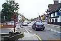
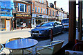
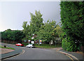
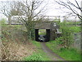
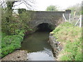
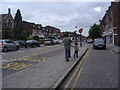
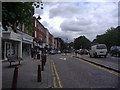
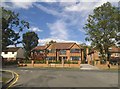
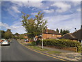
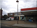
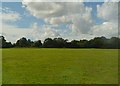
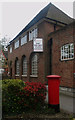
69 photos from this area
Area Information
Key information about the WD7 8HW including its size, population, and administrative classification.
- Area Type
- Postcode
- Area Size
- 3986 m²
- Population
- 1766
- Population Density
- 2118 people/km²
House Prices in WD7 8HW
15
Properties
£558,400
Average Sold Price
£175,000
Lowest Price
£925,000
Highest Price
Showing 15 properties
| Address | Type | Beds | Baths | Last Sale Price | Last Sale Date | |
|---|---|---|---|---|---|---|
| 58 The Crosspath, Radlett, WD7 8HW | house | 3 | 1 | £800,000 | Mar 2025 | |
| 50 The Crosspath, Radlett, WD7 8HW | Detached | 2 | 2 | £925,000 | Jan 2022 | |
| 34 The Crosspath, Radlett, WD7 8HW | Cottage | 4 | - | £745,000 | Jul 2016 | |
| 54 The Crosspath, Radlett, WD7 8HW | Semi-detached | 4 | 2 | £880,000 | Jul 2016 | |
| 44 The Crosspath, Radlett, WD7 8HW | Terraced | 4 | 2 | £591,000 | Feb 2015 | |
| 52 The Crosspath, Radlett, WD7 8HW | Terraced | - | - | £490,000 | Dec 2006 | |
| 62 The Crosspath, Radlett, WD7 8HW | Semi-detached | - | - | £308,000 | Apr 2004 | |
| 32 The Crosspath, Radlett, WD7 8HW | Terraced | - | - | £390,000 | Nov 2003 | |
| 36 The Crosspath, Radlett, WD7 8HW | Terraced | - | - | £280,000 | Jul 2002 | |
| 60 The Crosspath, Radlett, WD7 8HW | house | - | - | £175,000 | Jan 1999 |
Page 1 of 2
Energy Efficiency in WD7 8HW
Amenities
Schools
| Rank | School | Type | Entry gender | Ages |
|---|
Explore more schools in this area
Go to Schools tabDemographics
Household Size
Family (3-5 people)
most common
Accommodation Type
Houses
most common
Tenure
65
majority
Ethnic Group
White
most common
Religion
N/A
most common
Household Composition
N/A
most common
Age
47
median
Adults (30-64 years)
most common
Household Deprivation
N/A
with no deprivation
NS-SEC
51
in Lower managerial occupations
Explore more demographic insights in this area
Go to Demographics tabPlanning
Planning Constraints
- Flood RiskPremium
- Ramsar Wetland SitesPremium
- Area of Outstanding Natural BeautyPremium
- Protected Nature ReservePremium
- Protected WoodlandPremium