Area Overview for WD6 3RG
Photos of WD6 3RG
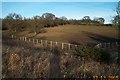
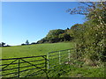
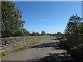
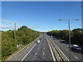
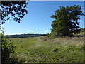
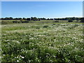
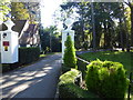
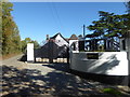
26 photos from this area
Area Information
Key information about the WD6 3RG including its size, population, and administrative classification.
- Area Type
- Postcode
- Area Size
- 52.1 hectares
- Population
- 1527
- Population Density
- 969 people/km²
House Prices in WD6 3RG
8
Properties
£1,400,000
Average Sold Price
£1,400,000
Lowest Price
£1,400,000
Highest Price
Showing 8 properties
| Address | Type | Beds | Baths | Last Sale Price | Last Sale Date | |
|---|---|---|---|---|---|---|
| Dower House, Edgwarebury Lane, Elstree, WD6 3RG | Detached | 8 | 6 | £1,400,000 | Nov 2002 | |
| Annexe, Oakview, Edgwarebury Lane, Elstree, WD6 3RG | Detached | 16 | 12 | - | - | |
| Oakview, Edgwarebury Lane, Elstree, WD6 3RG | Detached | 5 | 4 | - | - | |
| Penniwells, Edgwarebury Lane, Elstree, WD6 3RG | Detached | 7 | 5 | - | - | |
| Penniwells Farm, Edgwarebury Lane, Elstree, WD6 3RG | Farm | - | - | - | - | |
| Northern Heights, Edgwarebury Lane, Elstree, WD6 3RG | residential_school | - | - | - | - | |
| Elstree View Care Home, Edgwarebury Lane, Elstree, WD6 3RG | hospital_care_home | - | - | - | - | |
| Penniwells Group, Penniwells Riding Centre, Edgwarebury Lane, Elstree, WD6 3RG | Equestrian | - | - | - | - |
Energy Efficiency in WD6 3RG
Amenities
Schools
| Rank | School | Type | Entry gender | Ages |
|---|
Explore more schools in this area
Go to Schools tabDemographics
Household Size
Family (3-5 people)
most common
Accommodation Type
Houses
most common
Tenure
94
majority
Ethnic Group
White
most common
Religion
N/A
most common
Household Composition
N/A
most common
Age
47
median
Adults (30-64 years)
most common
Household Deprivation
N/A
with no deprivation
NS-SEC
54
in Lower managerial occupations
Explore more demographic insights in this area
Go to Demographics tabPlanning
Planning Constraints
- Flood RiskPremium
- Ramsar Wetland SitesPremium
- Area of Outstanding Natural BeautyPremium
- Protected Nature ReservePremium
- Protected WoodlandPremium