Area Overview for WD6 3PP
Photos of WD6 3PP
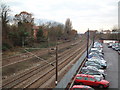
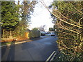
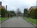
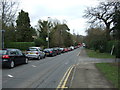
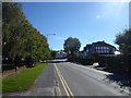
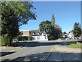
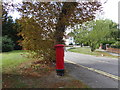
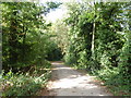
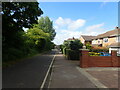
38 photos from this area
Area Information
Key information about the WD6 3PP including its size, population, and administrative classification.
- Area Type
- Postcode
- Area Size
- 2.3 hectares
- Population
- 1831
- Population Density
- 880 people/km²
House Prices in WD6 3PP
23
Properties
£837,012
Average Sold Price
£285,000
Lowest Price
£1,760,000
Highest Price
Showing 23 properties
| Address | Type | Beds | Baths | Last Sale Price | Last Sale Date | |
|---|---|---|---|---|---|---|
| 15 Links Drive, Elstree, WD6 3PP | house | - | - | £1,400,000 | Oct 2025 | |
| 17 Links Drive, Elstree, WD6 3PP | Detached | 6 | 5 | £1,760,000 | Jan 2021 | |
| 41 Links Drive, Elstree, WD6 3PP | Detached | 4 | 2 | £965,000 | Dec 2020 | |
| 35 Links Drive, Elstree, WD6 3PP | Detached | 3 | 1 | £1,062,500 | Sep 2017 | |
| 19 Links Drive, Elstree, WD6 3PP | Detached | 5 | 3 | £1,365,000 | Aug 2015 | |
| 13 Links Drive, Elstree, WD6 3PP | house | - | - | £900,000 | Nov 2013 | |
| 45 Links Drive, Elstree, WD6 3PP | house | - | - | £710,000 | Jun 2013 | |
| 43 Links Drive, Elstree, WD6 3PP | Detached | 5 | 3 | £1,075,000 | Mar 2013 | |
| 25 Links Drive, Elstree, WD6 3PP | house | 4 | 1 | £875,000 | Mar 2013 | |
| 31 Links Drive, Elstree, WD6 3PP | house | - | - | £775,000 | Aug 2010 |
Page 1 of 3
Energy Efficiency in WD6 3PP
Amenities
Schools
| Rank | School | Type | Entry gender | Ages |
|---|
Explore more schools in this area
Go to Schools tabDemographics
Household Size
Family (3-5 people)
most common
Accommodation Type
Houses
most common
Tenure
69
majority
Ethnic Group
White
most common
Religion
N/A
most common
Household Composition
N/A
most common
Age
47
median
Adults (30-64 years)
most common
Household Deprivation
N/A
with no deprivation
NS-SEC
51
in Lower managerial occupations
Explore more demographic insights in this area
Go to Demographics tabPlanning
Planning Constraints
- Flood RiskPremium
- Ramsar Wetland SitesPremium
- Area of Outstanding Natural BeautyPremium
- Protected Nature ReservePremium
- Protected WoodlandPremium