Area Overview for WD6 3JU
Photos of WD6 3JU
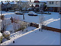
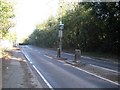
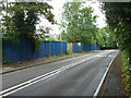
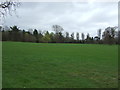
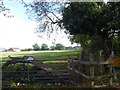
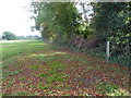
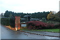
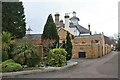
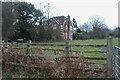
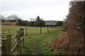
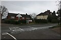
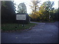
27 photos from this area
Area Information
Key information about the WD6 3JU including its size, population, and administrative classification.
- Area Type
- Postcode
- Area Size
- 1.6 hectares
- Population
- 1527
- Population Density
- 969 people/km²
House Prices in WD6 3JU
17
Properties
£586,300
Average Sold Price
£235,000
Lowest Price
£1,300,000
Highest Price
Showing 17 properties
| Address | Type | Beds | Baths | Last Sale Price | Last Sale Date | |
|---|---|---|---|---|---|---|
| 4 The Rise, Elstree, WD6 3JU | Detached | 4 | 2 | £1,300,000 | Feb 2019 | |
| 14 The Rise, Elstree, WD6 3JU | Detached | 3 | 1 | £750,000 | Sep 2013 | |
| 16 The Rise, Elstree, WD6 3JU | house | - | - | £680,000 | Jul 2011 | |
| 12 The Rise, Elstree, WD6 3JU | Detached | - | - | £565,000 | Jan 2007 | |
| 26 The Rise, Elstree, WD6 3JU | Detached | - | - | £880,000 | Jul 2006 | |
| 32 The Rise, Elstree, WD6 3JU | Detached | - | - | £475,000 | Jan 2002 | |
| 22 The Rise, Elstree, WD6 3JU | house | 5 | 4 | £365,000 | Sep 1999 | |
| 28 The Rise, Elstree, WD6 3JU | Detached | - | - | £235,000 | Jun 1997 | |
| 30 The Rise, Elstree, WD6 3JU | house | - | - | £265,000 | Apr 1997 | |
| 24 The Rise, Elstree, WD6 3JU | Detached | - | - | £348,000 | Aug 1996 |
Page 1 of 2
Energy Efficiency in WD6 3JU
Amenities
Schools
| Rank | School | Type | Entry gender | Ages |
|---|
Explore more schools in this area
Go to Schools tabDemographics
Household Size
Family (3-5 people)
most common
Accommodation Type
Houses
most common
Tenure
94
majority
Ethnic Group
White
most common
Religion
N/A
most common
Household Composition
N/A
most common
Age
47
median
Adults (30-64 years)
most common
Household Deprivation
N/A
with no deprivation
NS-SEC
54
in Lower managerial occupations
Explore more demographic insights in this area
Go to Demographics tabPlanning
Planning Constraints
- Flood RiskPremium
- Ramsar Wetland SitesPremium
- Area of Outstanding Natural BeautyPremium
- Protected Nature ReservePremium
- Protected WoodlandPremium