Area Overview for WD4 8DF
Photos of WD4 8DF
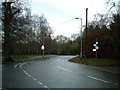
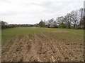
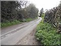
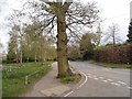
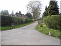
9 photos from this area
Area Information
Key information about the WD4 8DF including its size, population, and administrative classification.
- Area Type
- Postcode
- Area Size
- 3.1 hectares
- Population
- 1607
- Population Density
- 808 people/km²
House Prices in WD4 8DF
32
Properties
£350,786
Average Sold Price
£176,000
Lowest Price
£601,000
Highest Price
Showing 32 properties
| Address | Type | Beds | Baths | Last Sale Price | Last Sale Date | |
|---|---|---|---|---|---|---|
| 77 Coniston Road, Kings Langley, WD4 8DF | Terraced | 3 | 1 | £550,000 | Jun 2023 | |
| 57 Coniston Road, Kings Langley, WD4 8DF | Terraced | 3 | 2 | £456,000 | Feb 2023 | |
| 39 Coniston Road, Kings Langley, WD4 8DF | Retail | 3 | 2 | £482,000 | Nov 2022 | |
| 29 Coniston Road, Kings Langley, WD4 8DF | Terraced | 3 | 1 | £601,000 | Jul 2022 | |
| 33 Coniston Road, Kings Langley, WD4 8DF | house | - | - | £450,000 | Jun 2021 | |
| 35 Coniston Road, Kings Langley, WD4 8DF | Terraced | 3 | - | £360,000 | Aug 2015 | |
| 23 Coniston Road, Kings Langley, WD4 8DF | house | - | - | £460,000 | Jul 2015 | |
| 45 Coniston Road, Kings Langley, WD4 8DF | Detached | 3 | 1 | £295,000 | May 2014 | |
| 27 Coniston Road, Kings Langley, WD4 8DF | house | - | - | £250,000 | Oct 2013 | |
| 55 Coniston Road, Kings Langley, WD4 8DF | Terraced | 3 | 1 | £243,000 | Jun 2012 |
Page 1 of 4
Energy Efficiency in WD4 8DF
Amenities
Schools
| Rank | School | Type | Entry gender | Ages |
|---|
Explore more schools in this area
Go to Schools tabDemographics
Household Size
Family (3-5 people)
most common
Accommodation Type
Houses
most common
Tenure
89
majority
Ethnic Group
White
most common
Religion
N/A
most common
Household Composition
N/A
most common
Age
47
median
Adults (30-64 years)
most common
Household Deprivation
N/A
with no deprivation
NS-SEC
52
in Lower managerial occupations
Explore more demographic insights in this area
Go to Demographics tabPlanning
Planning Constraints
- Flood RiskPremium
- Ramsar Wetland SitesPremium
- Area of Outstanding Natural BeautyPremium
- Protected Nature ReservePremium
- Protected WoodlandPremium